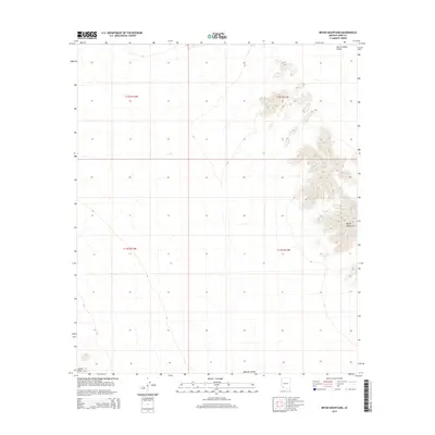
2014 Map of Bryan Mountains
USGS Topo · Published 2014About this map
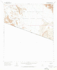
The Bryan Mountains rise sharply as a prominent north-south ridge in this arid corner of Yuma County, defining the local topography between two expansive basins. To the northeast, the San Cristobal Valley extends across the landscape, while the Mohawk Valley borders the southern reaches of the quadrangle. In the far southwestern corner, the map captures the beginning of the Sierra Pinta range. This 2014 survey documents the stark desert land patterns of the American Southwest, where topographic relief is the primary feature of interest. The map is organized by the Public Land Survey System, showing township and range lines like t12s r11w and t13s r12w that overlay the undeveloped terrain, illustrating how modern cartography imposes order on a wilderness of canyons and high ridges.
Find a feature on this map
8 named features on this map. Tap any name to fly to it.
Don’t see what you’re looking for? This feature index may not catch every label — zoom into the map to look around manually.
Map Details
Editions of this 2014 Bryan Mountains Map
This is the sole edition of this map. No revisions or reprints were ever made.
Other maps of this area

1953 · Ajo
USGS Topo · 1:250,000

1957 · Ajo
USGS Topo · 1:250,000

1958 · Ajo
USGS Topo · 1:250,000

1962 · Ajo
USGS Topo · 1:250,000

1963 · Ajo
USGS Topo · 1:250,000
1965 · O'Neill Hills
USGS Topo · 1:62,500
1965 · Granite Mountains
USGS Topo · 1:62,500
1965 · Isla Pinta
USGS Topo · 1:62,500
1965 · Sierra Arida
USGS Topo · 1:62,500
1967 · Ajo
USGS Topo · 1:250,000