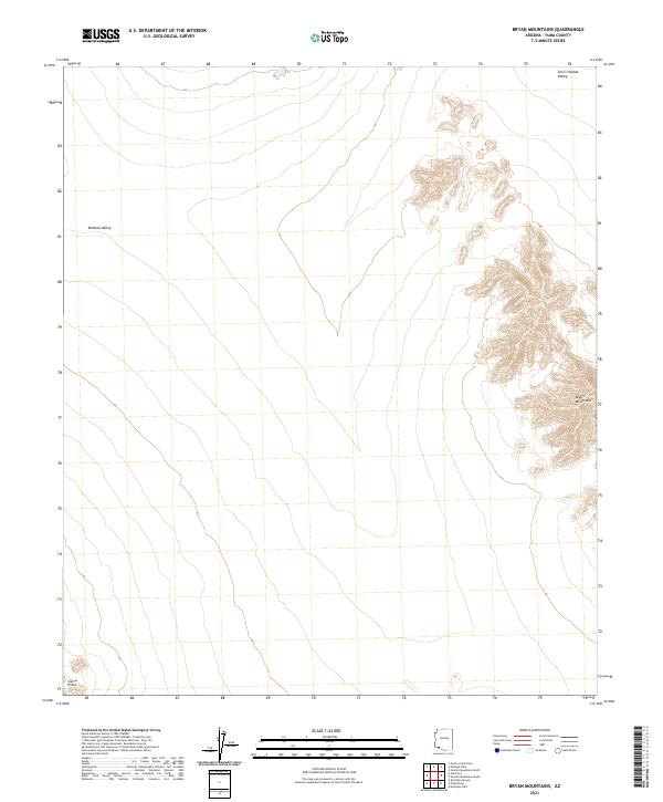
2021 Map of Bryan Mountains
USGS Topo · Published 2021About this map
The Bryan Mountains dominate the eastern landscape of this remote corner of Yuma County, Arizona. This desert terrain is defined by dramatic topographic shifts where the high ridges of the Sierra Pinta and the Bryan Mountains rise abruptly from the surrounding basins. The survey captures the transition between two significant arid basins: the Mohawk Valley to the west and the San Cristobal Valley to the north. While largely devoid of modern development or named settlements, the map provides precise section and township boundaries, such as t12s r12w and t13s r11w, which are essential for locating specific land parcels and desert landmarks in this sparsely populated region of the American Southwest.
Find a feature on this map
8 named features on this map. Tap any name to fly to it.
Don’t see what you’re looking for? This feature index may not catch every label — zoom into the map to look around manually.
Map Details
Editions of this 2021 Bryan Mountains Map
This is the sole edition of this map. No revisions or reprints were ever made.
Other maps of this area

1953 · Ajo
USGS Topo · 1:250,000

1957 · Ajo
USGS Topo · 1:250,000

1958 · Ajo
USGS Topo · 1:250,000

1962 · Ajo
USGS Topo · 1:250,000

1963 · Ajo
USGS Topo · 1:250,000

1965 · O'Neill Hills
USGS Topo · 1:62,500

1965 · Granite Mountains
USGS Topo · 1:62,500

1965 · Isla Pinta
USGS Topo · 1:62,500

1965 · Sierra Arida
USGS Topo · 1:62,500

1967 · Ajo
USGS Topo · 1:250,000