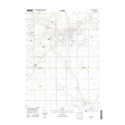
2013 Map of Bryan
USGS Topo · Published 2013About this map
The city of Bryan serves as the primary hub of this Williams County landscape, where the established grid of the city meets the radiating residential clusters of Norlick Place, Willow Glenn, and Rachel Heights. This era shows the continued importance of regional infrastructure, evidenced by the Williams County Airport and the expansive Buckeye Golf Course on the western edge of town. To the south, the map documents the transition across the border into Defiance County, where the smaller settlements of Williams Center and Ney maintain their distinct rural identities.
Find a feature on this map
151 named features on this map. Tap any name to fly to it.
Don’t see what you’re looking for? This feature index may not catch every label — zoom into the map to look around manually.
Map Details
Editions of this 2013 Bryan Map
This is the sole edition of this map. No revisions or reprints were ever made.
Other maps of this area

1907 · Defiance
USGS Topo · 1:62,500

1909 · Defiance
USGS Topo · 1:62,500

1913 · Alvordton
USGS Topo · 1:62,500

1914 · Pioneer
USGS Topo · 1:62,500

1914 · Bryan
USGS Topo · 1:62,500

1943 · Bryan
USGS Topo · 1:62,500

1944 · Pioneer
USGS Topo · 1:62,500

1944 · Alvordton
USGS Topo · 1:62,500

1953 · Fort Wayne
USGS Topo · 1:250,000

1956 · Fort Wayne
USGS Topo · 1:250,000