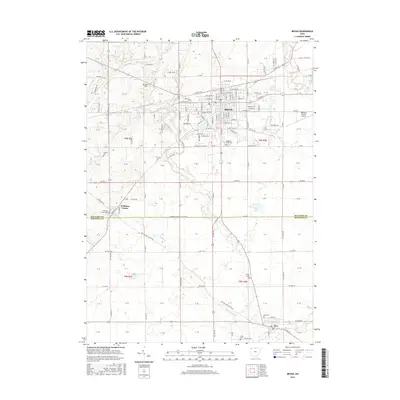
2016 Map of Bryan
USGS Topo · Published 2016About this map
Bryan serves as the primary hub of this Williams County landscape, where the intersection of US Rte 127 and local routes like E High St and Industrial Dr anchor the regional economy. The town's layout is complemented by the Williams County Airport to the east and the expansive grounds of Fountain Grove Cem. Beyond the city limits, the terrain is defined by a network of waterways including Prairie Cr, Lick Cr, and Beaver Cr, which meander through a patchwork of rural sections.
Find a feature on this map
119 named features on this map. Tap any name to fly to it.
Don’t see what you’re looking for? This feature index may not catch every label — zoom into the map to look around manually.
Map Details
Editions of this 2016 Bryan Map
This is the sole edition of this map. No revisions or reprints were ever made.
Other maps of this area

1907 · Defiance
USGS Topo · 1:62,500

1909 · Defiance
USGS Topo · 1:62,500

1913 · Alvordton
USGS Topo · 1:62,500

1914 · Pioneer
USGS Topo · 1:62,500

1914 · Bryan
USGS Topo · 1:62,500

1943 · Bryan
USGS Topo · 1:62,500

1944 · Pioneer
USGS Topo · 1:62,500

1944 · Alvordton
USGS Topo · 1:62,500

1953 · Fort Wayne
USGS Topo · 1:250,000

1956 · Fort Wayne
USGS Topo · 1:250,000