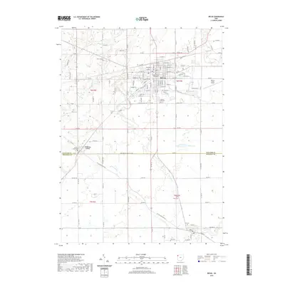
2019 Map of Bryan
USGS Topo · Published 2019About this map
The city of Bryan serves as a significant hub in Northwest Ohio, anchored by the Williams County Courthouse at its center. This 2019 survey documents the expansion of the city limits and the intricate grid of streets such as E High St and W Mulberry St. The landscape beyond the city is defined by productive agricultural land and a network of waterways, including Lick Cr, Prairie Cr, and Little Lick Cr. These streams wind through the townships of t6n r2e and t6n r3e, passing by numerous historical burial grounds like Brown Cem and Fetters Cem. To the south, the village of Ney sits along the banks of Little Lick Cr, connected to Williams Center by rural routes like Ney Williams Center Rd. The survey illustrates the rural-to-urban transition and the enduring placement of community landmarks across the Williams and Defiance county line.
Find a feature on this map
58 named features on this map. Tap any name to fly to it.
Don’t see what you’re looking for? This feature index may not catch every label — zoom into the map to look around manually.
Map Details
Editions of this 2019 Bryan Map
This is the sole edition of this map. No revisions or reprints were ever made.
Other maps of this area

1907 · Defiance
USGS Topo · 1:62,500

1909 · Defiance
USGS Topo · 1:62,500

1913 · Alvordton
USGS Topo · 1:62,500

1914 · Pioneer
USGS Topo · 1:62,500

1914 · Bryan
USGS Topo · 1:62,500

1943 · Bryan
USGS Topo · 1:62,500

1944 · Pioneer
USGS Topo · 1:62,500

1944 · Alvordton
USGS Topo · 1:62,500

1953 · Fort Wayne
USGS Topo · 1:250,000

1956 · Fort Wayne
USGS Topo · 1:250,000