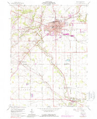
2023 Map of Bryan
USGS Topo · Published 2023About this map
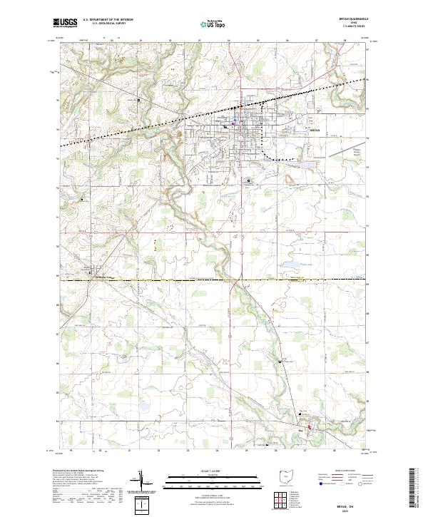
The Williams County Courthouse stands as the central landmark of Bryan, anchoring a landscape defined by the convergence of the Tiffon River watershed. This modern topographic study reveals a well-developed grid of rural townships and county roads that link the surrounding settlements of Williams Center and Ney. The terrain is characterized by the winding paths of Miller Creek, Lick Creek, and Prairie Creek, which drain the agricultural land across the Williams and Defiance county line. Genealogists and local historians will find significant value in the documentation of several family and community burial grounds, including Fountain Grove Cem, Fetters Cem, and Ney Cem. The presence of the Williams County Airport and the expansive industrial district east of the city center illustrates the ongoing economic evolution of this Northwestern Ohio region.
Find a feature on this map
130 named features on this map. Tap any name to fly to it.
Don’t see what you’re looking for? This feature index may not catch every label — zoom into the map to look around manually.
Map Details
Editions of this 2023 Bryan Map
This is the sole edition of this map. No revisions or reprints were ever made.