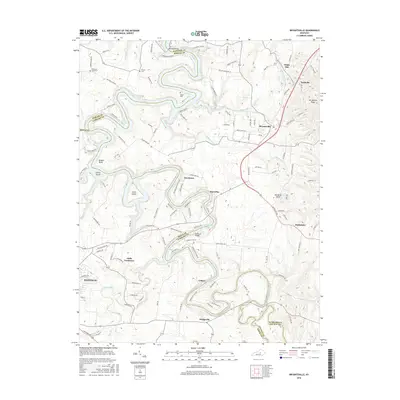
2016 Map of Bryantsville
USGS Topo · Published 2016About this map
Bryantsville and the winding course of the Dix River define this central Kentucky landscape, where the borders of Boyle, Garrard, Mercer, and Lincoln counties converge. The terrain is characterized by dramatic river bends, notably Brights Bend, and the expansive waters of Herrington Lake, which are crossed by local landmarks like Kennedy Bridge and Chenault Bridge. For genealogists and local historians, the map preserves the locations of several community burial sites, including Sallee Cem, Proctor Cem, and Robinson Road Cem.
Find a feature on this map
119 named features on this map. Tap any name to fly to it.
Don’t see what you’re looking for? This feature index may not catch every label — zoom into the map to look around manually.
Map Details
Editions of this 2016 Bryantsville Map
This is the sole edition of this map. No revisions or reprints were ever made.
Other maps of this area

1905 · Harrodsburg
USGS Topo · 1:125,000

1950 · Bryantsville
USGS Topo · 1:24,000

1952 · Little Hickman
USGS Topo · 1:24,000

1952 · Buckeye
USGS Topo · 1:24,000

1952 · Danville
USGS Topo · 1:24,000

1952 · Harrodsburg
USGS Topo · 1:24,000

1952 · Lancaster
USGS Topo · 1:24,000

1952 · Bryantsville
USGS Topo · 1:24,000

1952 · Stanford
USGS Topo · 1:24,000
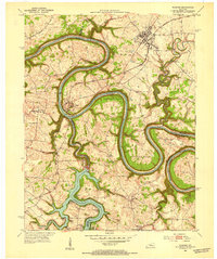
1952 · Wilmore
USGS Topo · 1:24,000