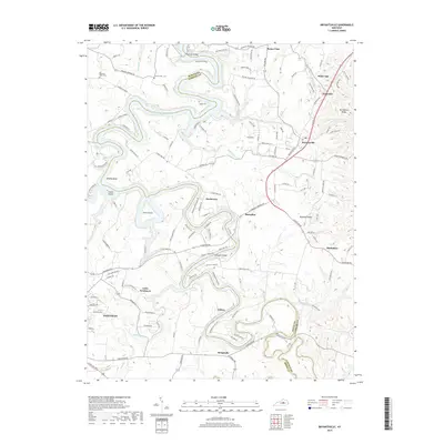
2019 Map of Bryantsville
USGS Topo · Published 2019About this map
Herrington Lake and the winding course of the Dix River define the northern and western reaches of this central Kentucky landscape, where the borders of Mercer, Garrard, Boyle, and Lincoln counties converge. The terrain is characterized by the deep meanders of the river, creating prominent geographical features like Brights Bend, Gwinn Island, and Dunn Island. This area preserves a network of small, established communities connected by historic routes such as Lexington Rd, linking Bryantsville and Toddville to the surrounding countryside.
Find a feature on this map
127 named features on this map. Tap any name to fly to it.
Don’t see what you’re looking for? This feature index may not catch every label — zoom into the map to look around manually.
Map Details
Editions of this 2019 Bryantsville Map
This is the sole edition of this map. No revisions or reprints were ever made.
Other maps of this area

1905 · Harrodsburg
USGS Topo · 1:125,000

1950 · Bryantsville
USGS Topo · 1:24,000

1952 · Little Hickman
USGS Topo · 1:24,000

1952 · Buckeye
USGS Topo · 1:24,000

1952 · Danville
USGS Topo · 1:24,000

1952 · Harrodsburg
USGS Topo · 1:24,000

1952 · Lancaster
USGS Topo · 1:24,000

1952 · Bryantsville
USGS Topo · 1:24,000

1952 · Stanford
USGS Topo · 1:24,000
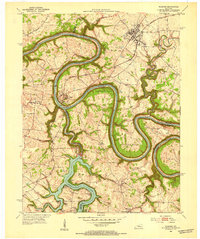
1952 · Wilmore
USGS Topo · 1:24,000