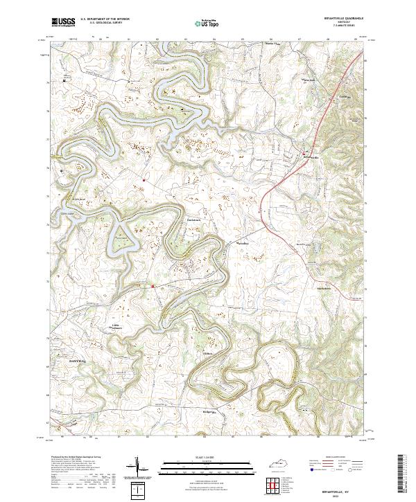
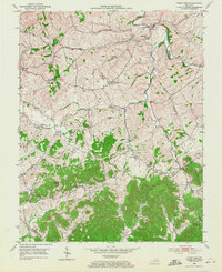
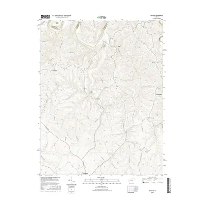
2022 Map of Bryantsville
USGS Topo · Published 2022About this map
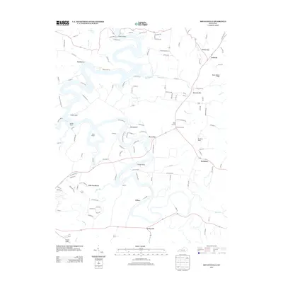
The Dix River carves a winding course through this central Kentucky landscape, defining the boundaries between Garrard, Mercer, and Boyle counties. The terrain is marked by significant elevations like Burdette Knob and the deep river bends that create features such as Brights Bend and Gwinn Island. This modern survey illustrates a network of historic rural settlements, including Bryantsville, Davistown, and the uniquely named Little Needmore. These small communities and crossroads represent the long-standing agricultural and residential patterns of the Bluegrass region south of the Kentucky River. Family history is well-preserved through several documented burial sites, such as Proctor Cem and Sallee Cem, which remain as physical links to the area's early inhabitants. The map also shows the northern outskirts of Danville, where the suburban landscape meets the more sparsely populated ridges and creek valleys of McKecknie Creek and Clarks Run.
Find a feature on this map
137 named features on this map. Tap any name to fly to it.
Don’t see what you’re looking for? This feature index may not catch every label — zoom into the map to look around manually.
Map Details
Editions of this 2022 Bryantsville Map
This is the sole edition of this map. No revisions or reprints were ever made.
Historical Maps of Danville Through Time
19 maps found
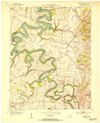
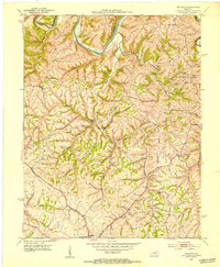
1950 Bryantsville
Garrard County, KY
1952 Bryantsville
Garrard County, KY
1952 Buckeye
Garrard County, KY
1952 Paint Lick
Garrard County, KY
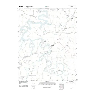
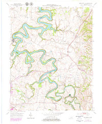
2010 Bryantsville
Garrard County, KY
2010 Buckeye
Garrard County, KY
2010 Paint Lick
Garrard County, KY
2013 Bryantsville
Garrard County, KY
2013 Buckeye
Garrard County, KY
2013 Paint Lick
Garrard County, KY
2016 Bryantsville
Garrard County, KY
2016 Buckeye
Garrard County, KY
2016 Paint Lick
Garrard County, KY
2019 Bryantsville
Garrard County, KY
2019 Buckeye
Garrard County, KY
2019 Paint Lick
Garrard County, KY
2022 Bryantsville
Garrard County, KY
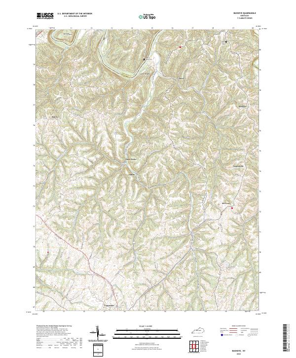
2022 Buckeye
Garrard County, KY
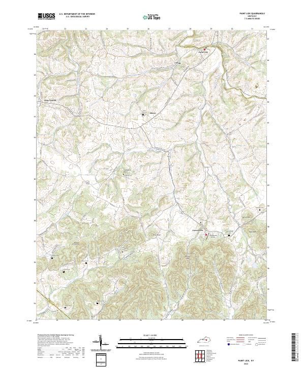
2022 Paint Lick
Garrard County, KY