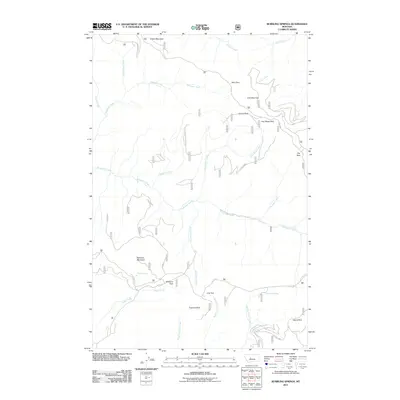
2011 Map of Bubbling Springs
USGS Topo · Published 2011About this map
Iron Mines and a series of high-altitude parklands define this mountain landscape in Cascade County during the early 21st century. The drainage network is dominated by Tenderfoot Creek and the three forks of Calf Creek, which cut through a terrain marked by named summits like Iron Mountain and Williams Mountain. The presence of Iron Mines near Iron Mines Park points to the area's geological and extractive history, while numerous labeled meadows—including Deer Park, Crescent Park, and Island Park—illustrate the characteristic open clearings of the Lewis and Forest Service lands. Remote access is provided by several forest service routes, including Divide Rd and Sheep Creek Rd, which connect the isolated Bubbling Springs and McKay Spring to the broader regional topography.
Find a feature on this map
36 named features on this map. Tap any name to fly to it.
Don’t see what you’re looking for? This feature index may not catch every label — zoom into the map to look around manually.
Map Details
Editions of this 2011 Bubbling Springs Map
This is the sole edition of this map. No revisions or reprints were ever made.
Other maps of this area
1886 · Great Falls
USGS Topo · 1:250,000
1886 · Fort Logan
USGS Topo · 1:250,000
1886 · Little Belt Mts.
USGS Topo · 1:250,000
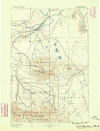
1890 · Fort Benton
USGS Topo · 1:250,000
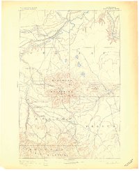
1892 · Fort Benton
USGS Topo · 1:250,000
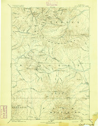
1894 · Little Belt Mts.
USGS Topo · 1:250,000
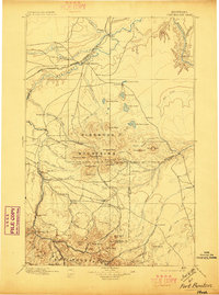
1897 · Fort Benton
USGS Topo · 1:250,000
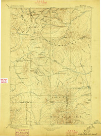
1897 · Little Belt Mts.
USGS Topo · 1:250,000
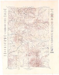
1898 · Little Belt Mts.
USGS Topo · 1:250,000
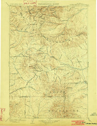
1902 · Little Belt Mts.
USGS Topo · 1:250,000