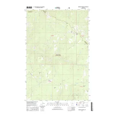
2017 Map of Bubbling Springs
USGS Topo · Published 2017About this map
Lewis & Clark National Forest encompasses the high country shown here, a landscape defined by the drainage systems of Tenderfoot Cr and various branches of Calf Creek. The eastern reaches of the Cascade and Meagher County line bisect the terrain, marking a boundary through a series of mountain parks and peaks. Natural resources shaped the local nomenclature, evidenced by features like the Iron Mines and Iron Mtn, alongside several designated park areas such as Central Park and Iron Mines Park.
Find a feature on this map
44 named features on this map. Tap any name to fly to it.
Don’t see what you’re looking for? This feature index may not catch every label — zoom into the map to look around manually.
Map Details
Editions of this 2017 Bubbling Springs Map
This is the sole edition of this map. No revisions or reprints were ever made.
Other maps of this area
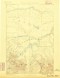
1886 · Great Falls
USGS Topo · 1:250,000
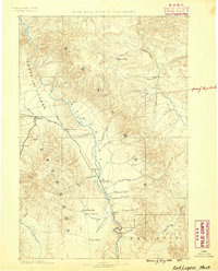
1886 · Fort Logan
USGS Topo · 1:250,000
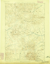
1886 · Little Belt Mts.
USGS Topo · 1:250,000
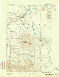
1890 · Fort Benton
USGS Topo · 1:250,000
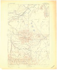
1892 · Fort Benton
USGS Topo · 1:250,000
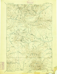
1894 · Little Belt Mts.
USGS Topo · 1:250,000
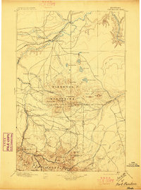
1897 · Fort Benton
USGS Topo · 1:250,000
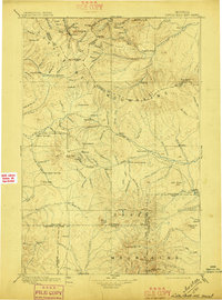
1897 · Little Belt Mts.
USGS Topo · 1:250,000
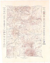
1898 · Little Belt Mts.
USGS Topo · 1:250,000
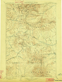
1902 · Little Belt Mts.
USGS Topo · 1:250,000