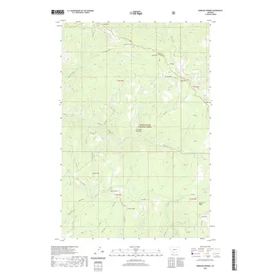
2020 Map of Bubbling Springs
USGS Topo · Published 2020About this map
Iron Mines and industrial history define this high-altitude landscape within the Lewis & Clark National Forest. The map detail shows a network of creeks—including Tenderfoot Cr and Balsinger Cr—that carve through the Little Belt Mountains. The terrain is characterized by a series of high parks such as Williams Park, Central Park, and Iron Mines Park, connected by old tracks like the Balsinger To Taylor route and Divide Rd.
Find a feature on this map
58 named features on this map. Tap any name to fly to it.
Don’t see what you’re looking for? This feature index may not catch every label — zoom into the map to look around manually.
Map Details
Editions of this 2020 Bubbling Springs Map
This is the sole edition of this map. No revisions or reprints were ever made.
Other maps of this area

1886 · Great Falls
USGS Topo · 1:250,000

1886 · Fort Logan
USGS Topo · 1:250,000

1886 · Little Belt Mts.
USGS Topo · 1:250,000

1890 · Fort Benton
USGS Topo · 1:250,000

1892 · Fort Benton
USGS Topo · 1:250,000

1894 · Little Belt Mts.
USGS Topo · 1:250,000

1897 · Fort Benton
USGS Topo · 1:250,000

1897 · Little Belt Mts.
USGS Topo · 1:250,000

1898 · Little Belt Mts.
USGS Topo · 1:250,000

1902 · Little Belt Mts.
USGS Topo · 1:250,000