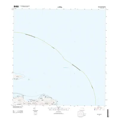
2013 Map of Buck Island
USGS Topo · Published 2013About this map
The easternmost reaches of Saint Croix are charted here, where the land narrows toward the prominent East Point and meets the surrounding Caribbean Sea. This coastal landscape is defined by its deep indentations and maritime recreation, featuring the Saint Croix Yacht Club and the Reef Golf Course near the settlements of Cotton Valley and Marys Fancy. The map captures the specialized topography of the northeastern shore, from the sheltered waters of Tague Bay to the recreation grounds at Cramer Park Beach.
Find a feature on this map
33 named features on this map. Tap any name to fly to it.
Don’t see what you’re looking for? This feature index may not catch every label — zoom into the map to look around manually.
Map Details
Editions of this 2013 Buck Island Map
This is the sole edition of this map. No revisions or reprints were ever made.
Other maps of this area
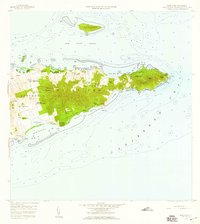
1958 · East Point
USGS Topo · 1:24,000
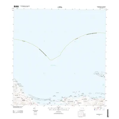
2013 · Beauregard Bay
USGS Topo · 1:20,000
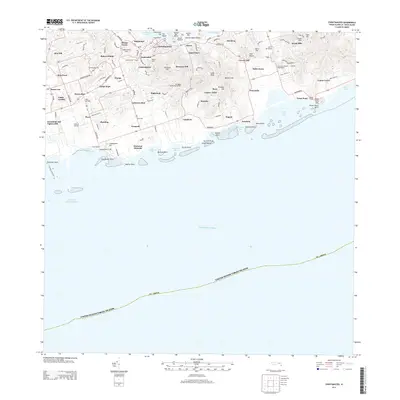
2013 · Christiansted
USGS Topo · 1:20,000
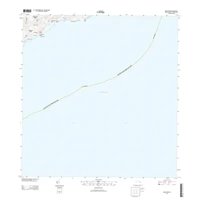
2013 · Grass Point
USGS Topo · 1:20,000
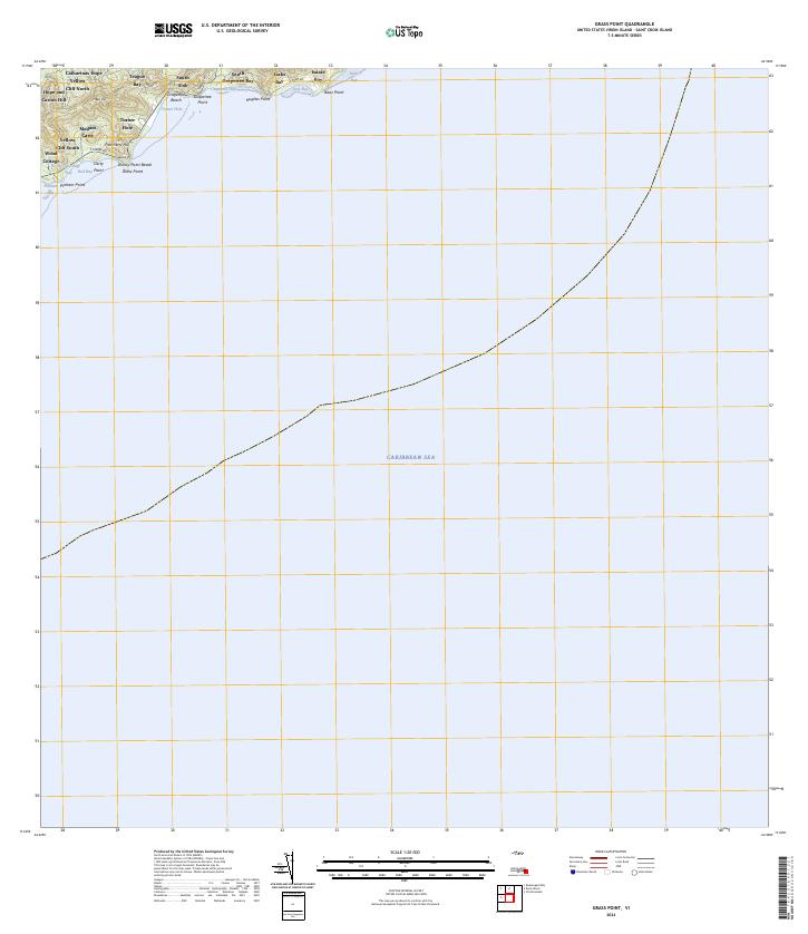
2024 · Grass Point
USGS Topo · 1:20,000
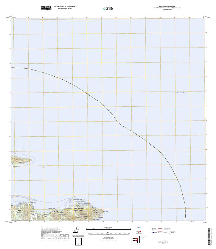
2024 · Buck Island
USGS Topo · 1:20,000
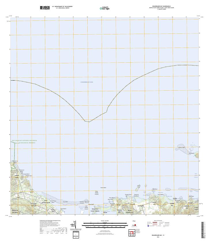
2024 · Beauregard Bay
USGS Topo · 1:20,000
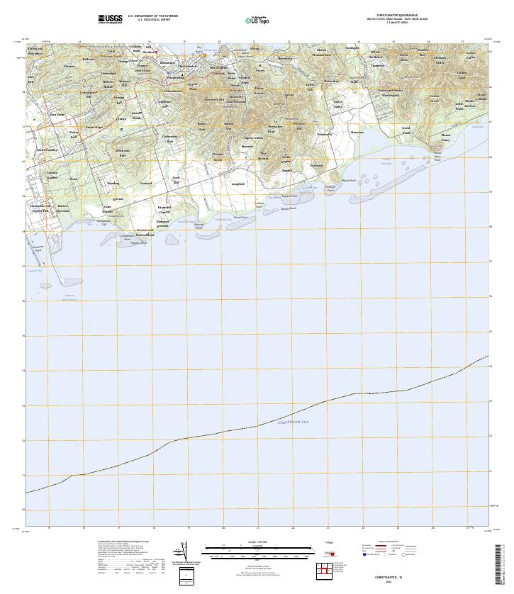
2024 · Christiansted
USGS Topo · 1:20,000
Featured Places
- Cotton Valley, Saint Croix District
- North Grapetree Bay, Saint Croix District
- North Slob, Saint Croix District
- Teagues Bay, Saint Croix District
- United States Virgin Islands