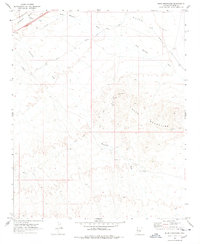
1970 Map of Buck Mountains
USGS Topo · Published 1978About this map
Palo Verde Mine and the Ideal Mine represent the industrial footprint in this arid Mohave County corridor during the late 1960s. The landscape is defined by the heavy drainage systems of Sacramento Wash and Franconia Wash, which cut through the high desert toward the Buck Mountains. Transport infrastructure is prominent, showing the transition from early motorized travel to modern utility, featuring the historic route of the Old National Trails Road alongside the At & Sf railroad and a major cross-country Pipeline. Further south, the Arizona Yucca Mine and scattered infrastructure like a Water Tank and Well indicate the logistical challenges of resource extraction in the desert. The presence of a Jeep Trail and various unpaved tracks suggests a region primarily accessed for mining and utility maintenance rather than permanent settlement.
Find a feature on this map
17 named features on this map. Tap any name to fly to it.
Don’t see what you’re looking for? This feature index may not catch every label — zoom into the map to look around manually.
Map Details
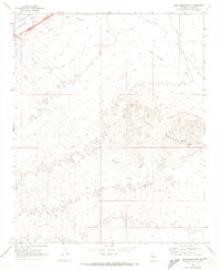
Editions of this 1970 Buck Mountains Map
2 editions found
Other maps of this area

1903 · Needles
USGS Topo · 1:125,000

1904 · Needles Special
USGS Topo · 1:125,000

1927 · Yucca
USGS Topo · 1:62,500

1927 · Buck Mountains
USGS Topo · 1:62,500

1929 · Buck Mountains
USGS Topo · 1:62,500

1929 · Yucca
USGS Topo · 1:62,500

1943 · Topock
USGS Topo · 1:62,500

1950 · Topock
USGS Topo · 1:62,500

1951 · Topock
USGS Topo · 1:62,500

1954 · Needles
USGS Topo · 1:250,000