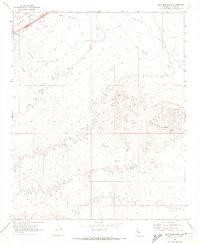
1970 Map of Buck Mountains
USGS Topo · Published 1973About this map
Mining operations and desert transit corridors define this Mohave County landscape in the early 1970s. The topography is dominated by the Buck Mountains, where several resource extraction sites are located, including the Palo Verde Mine, Ideal Mine, and Arizona Yucca Mine. These sites are linked by a network of rugged Jeep Trails that traverse the arid terrain. To the north, the desert floor opens into Dutch Flat, a broad alluvial expanse where drainage patterns like the Sacramento Wash and Buck Mountain Wash converge.
Find a feature on this map
13 named features on this map. Tap any name to fly to it.
Don’t see what you’re looking for? This feature index may not catch every label — zoom into the map to look around manually.
Map Details
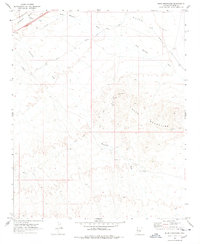
Editions of this 1970 Buck Mountains Map
2 editions found
Other maps of this area

1903 · Needles
USGS Topo · 1:125,000

1904 · Needles Special
USGS Topo · 1:125,000

1927 · Yucca
USGS Topo · 1:62,500

1927 · Buck Mountains
USGS Topo · 1:62,500

1929 · Buck Mountains
USGS Topo · 1:62,500

1929 · Yucca
USGS Topo · 1:62,500

1943 · Topock
USGS Topo · 1:62,500

1950 · Topock
USGS Topo · 1:62,500

1951 · Topock
USGS Topo · 1:62,500

1954 · Needles
USGS Topo · 1:250,000