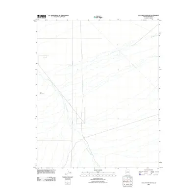
2011 Map of Buck Mountains NE
USGS Topo · Published 2011About this map
The Buck Mountains provide the dominant topographical structure for this part of Mohave County, where the landscape is defined by the drainage patterns of the Buck Mountain Wash and Cow Creek. This 2011 survey reveals an arid environment primarily utilized for transport and infrastructure, indicated by the straight-line paths of Rainbow Rd and Dutch Flat Rd. The presence of Pipeline Rd underscores the area's role as a corridor for regional utilities. The network of ephemeral washes branching across the terrain highlights the natural drainage system that shapes the bajadas at the foot of the mountain range, offering a clear record of the desert's physical geography in the early 21st century.
Find a feature on this map
6 named features on this map. Tap any name to fly to it.
Don’t see what you’re looking for? This feature index may not catch every label — zoom into the map to look around manually.
Map Details
Editions of this 2011 Buck Mountains NE Map
This is the sole edition of this map. No revisions or reprints were ever made.
Other maps of this area

1923 · Signal
USGS Topo · 1:250,000

1927 · Yucca
USGS Topo · 1:62,500

1927 · Buck Mountains
USGS Topo · 1:62,500

1929 · Buck Mountains
USGS Topo · 1:62,500

1929 · Yucca
USGS Topo · 1:62,500

1942 · Signal
USGS Topo · 1:250,000

1950 · Prescott
USGS Topo · 1:250,000

1954 · Needles
USGS Topo · 1:250,000

1954 · Prescott
USGS Topo · 1:250,000

1956 · Needles
USGS Topo · 1:250,000