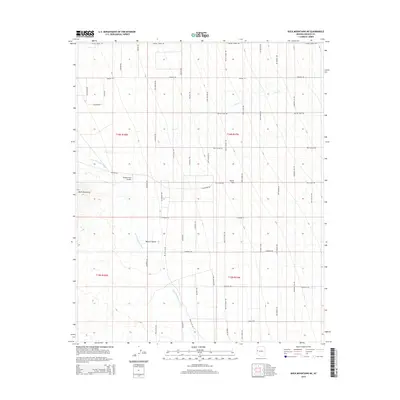
2014 Map of Buck Mountains NE
USGS Topo · Published 2014About this map
Buck Mountains and the arid expanse of the Mojave Desert define the landscape of this Mohave County quadrangle. A unique cultural layer is imprinted on the desert floor through a grid of named roads, many referencing figures from Western film and folklore, such as Butch Cassidy Rd, Wild Bill Rd, and Billy The Kid Rd. This network of dirt and local roads overlays the vast Dutch Flat area, suggesting a modern era of desert plotting and rural navigation. Topographic details highlight the ephemeral drainage systems of Cow Cr and Buck Mountain Wash, while the Massey Farm Airport stands as a notable human landmark amidst the rugged terrain. The map captures a moment of contemporary settlement where traditional desert geography meets a whimsical naming convention for local infrastructure.
Find a feature on this map
77 named features on this map. Tap any name to fly to it.
Don’t see what you’re looking for? This feature index may not catch every label — zoom into the map to look around manually.
Map Details
Editions of this 2014 Buck Mountains NE Map
This is the sole edition of this map. No revisions or reprints were ever made.
Other maps of this area

1923 · Signal
USGS Topo · 1:250,000

1927 · Yucca
USGS Topo · 1:62,500

1927 · Buck Mountains
USGS Topo · 1:62,500

1929 · Buck Mountains
USGS Topo · 1:62,500

1929 · Yucca
USGS Topo · 1:62,500

1942 · Signal
USGS Topo · 1:250,000

1950 · Prescott
USGS Topo · 1:250,000

1954 · Needles
USGS Topo · 1:250,000

1954 · Prescott
USGS Topo · 1:250,000

1956 · Needles
USGS Topo · 1:250,000