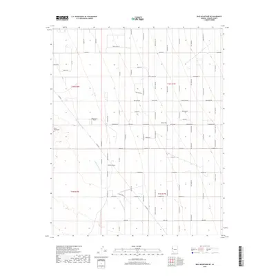
2018 Map of Buck Mountains NE
USGS Topo · Published 2018About this map
Massey Farm Airport sits as a solitary point of modern infrastructure within the sprawling arid landscape of the Mojave Desert and the Buck Mountains. The map reveals a fascinating thematic grid of local roads named for Western film icons and outlaws, cutting across Dutch Flat in the early 21st century. This road network includes Butch Cassidy Rd, Sundance Kid Rd, Gene Autry Dr, and Dale Evans Rd, creating a cultural overlay on the desert floor. Drainage patterns are defined by the Buck Mountain Wash and Cow Cr, while the presence of Pipeline Rd and various utility-named paths suggest a landscape defined more by transit and infrastructure corridors than by dense residential settlement.
Find a feature on this map
67 named features on this map. Tap any name to fly to it.
Don’t see what you’re looking for? This feature index may not catch every label — zoom into the map to look around manually.
Map Details
Editions of this 2018 Buck Mountains NE Map
This is the sole edition of this map. No revisions or reprints were ever made.
Other maps of this area

1923 · Signal
USGS Topo · 1:250,000

1927 · Yucca
USGS Topo · 1:62,500

1927 · Buck Mountains
USGS Topo · 1:62,500

1929 · Buck Mountains
USGS Topo · 1:62,500

1929 · Yucca
USGS Topo · 1:62,500

1942 · Signal
USGS Topo · 1:250,000

1950 · Prescott
USGS Topo · 1:250,000

1954 · Needles
USGS Topo · 1:250,000

1954 · Prescott
USGS Topo · 1:250,000

1956 · Needles
USGS Topo · 1:250,000