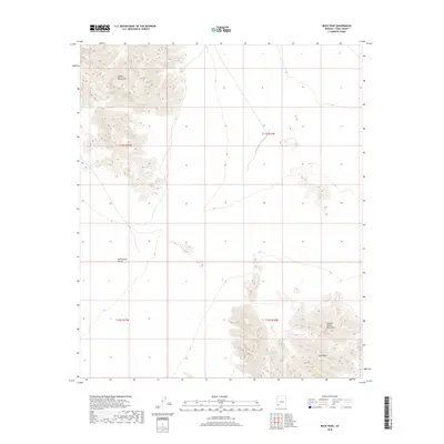
2018 Map of Buck Peak
USGS Topo · Published 2018About this map
Copper Mountains dominate the northwestern portion of this arid landscape in Yuma County, giving way to the expanse of the Lechuguilla Desert. This survey captures the transition between high desert peaks and the low-lying plains of the southwest, where seasonal hydrology and remote terrain dictate the pattern of human activity. The southern half of the map is defined by the Cabeza Prieta Mountains, a range characterized by steep contours and significant elevations such as Buck Peak. Essential water resources are scarce in this environment, with the Buck Peak Tank serving as a primary named water feature near the base of the mountains. This 2018 topographic data provides a high-resolution view of the natural relief and traditional township boundaries, including the intersection of t11s r16w and t12s r16w.
Find a feature on this map
9 named features on this map. Tap any name to fly to it.
Don’t see what you’re looking for? This feature index may not catch every label — zoom into the map to look around manually.
Map Details
Editions of this 2018 Buck Peak Map
This is the sole edition of this map. No revisions or reprints were ever made.
Other maps of this area

1926 · Wellton
USGS Topo · 1:62,500

1926 · Mohawk
USGS Topo · 1:62,500

1928 · Mohawk
USGS Topo · 1:62,500

1929 · Wellton
USGS Topo · 1:62,500

1942 · Yuma
USGS Topo · 1:250,000

1953 · Ajo
USGS Topo · 1:250,000

1954 · El Centro
USGS Topo · 1:250,000

1955 · El Centro
USGS Topo · 1:250,000

1957 · Ajo
USGS Topo · 1:250,000

1958 · Ajo
USGS Topo · 1:250,000