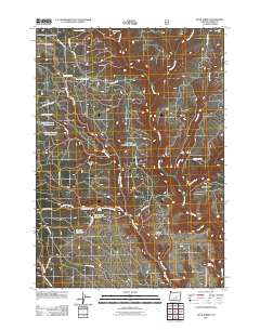
2011 Map of Buck Spring
USGS Topo · Published 2011About this map
Corral Ridge and Gravelly Flat define the high-desert character of this portion of Harney County, where water management is central to the landscape. A sophisticated system of storage for ranching or forestry is evident through a series of named catchments, including Mill Reservoir, Camas Reservoir, and the sequential Sawmill Number One Reservoir and Sawmill Number Two Reservoir. These features, along with the Dry Dam Reservoir, suggest a history of tactical water use in an area where Silver Creek and Delintment Creek are the primary drainage veins.
Find a feature on this map
35 named features on this map. Tap any name to fly to it.
Don’t see what you’re looking for? This feature index may not catch every label — zoom into the map to look around manually.
Map Details
Editions of this 2011 Buck Spring Map
This is the sole edition of this map. No revisions or reprints were ever made.
Other maps of this area

1955 · Burns
USGS Topo · 1:250,000

1958 · Burns
USGS Topo · 1:250,000

1959 · Burns
USGS Topo · 1:250,000

1961 · Delintment Lake
USGS Topo · 1:62,500
1981 · Mackey Butte
USGS Topo · 1:24,000
1981 · Twelvemile Reservoir
USGS Topo · 1:24,000
1981 · Bulger Ridge
USGS Topo · 1:24,000

1981 · Camp Currey Spring
USGS Topo · 1:24,000
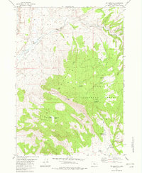
1982 · Dry Mountain
USGS Topo · 1:24,000
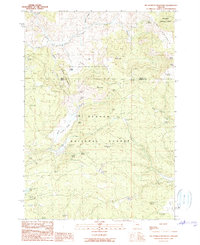
1990 · Big Mowich Mountain
USGS Topo · 1:24,000