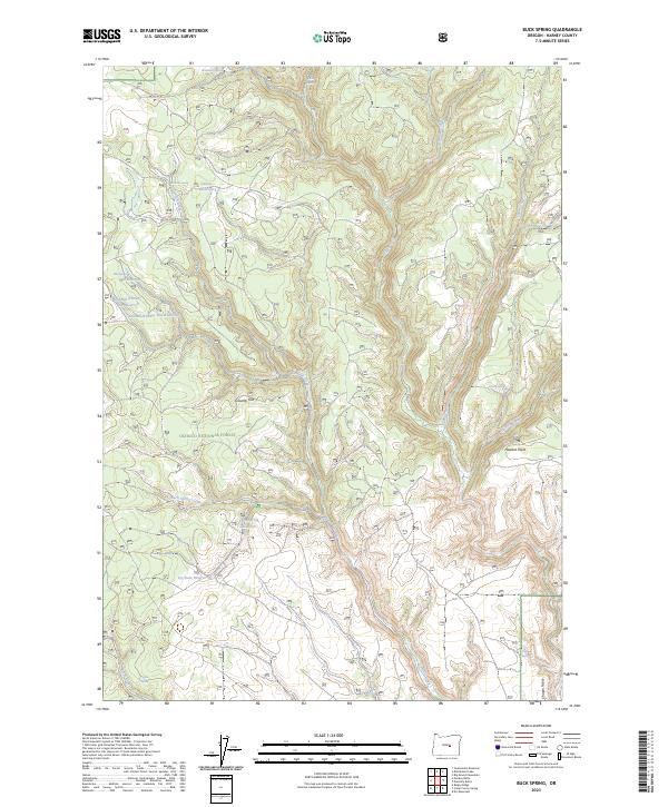
2023 Map of Buck Spring
USGS Topo · Published 2023About this map
The high plateau and timbered ridges of the Ochoco National Forest define this landscape in Harney County, where water management is central to the area's history. A sequence of small-scale impoundments including Mill Reservoir, Sawmill-Number One Reservoir, and Sawmill Number Two Reservoir suggest the historical importance of local timber operations and livestock watering. The terrain shifts from the open expanse of Gravelly Flat and the elevated Chapin Table to the deep drainages of Silver Creek and Delintment Creek. Springs are numerous across the quadrangle, with named sources like Hollenbeck Spring and Pick Spring feeding the seasonal creeks that carve through the volcanic landscape. These features, along with Dry Dam Reservoir, highlight the persistence of land-use patterns in this isolated corner of eastern Oregon.
Find a feature on this map
33 named features on this map. Tap any name to fly to it.
Don’t see what you’re looking for? This feature index may not catch every label — zoom into the map to look around manually.
Map Details
Editions of this 2023 Buck Spring Map
This is the sole edition of this map. No revisions or reprints were ever made.
Other maps of this area

1955 · Burns
USGS Topo · 1:250,000

1958 · Burns
USGS Topo · 1:250,000

1959 · Burns
USGS Topo · 1:250,000

1961 · Delintment Lake
USGS Topo · 1:62,500
1981 · Mackey Butte
USGS Topo · 1:24,000
1981 · Twelvemile Reservoir
USGS Topo · 1:24,000
1981 · Bulger Ridge
USGS Topo · 1:24,000

1981 · Camp Currey Spring
USGS Topo · 1:24,000
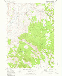
1982 · Dry Mountain
USGS Topo · 1:24,000
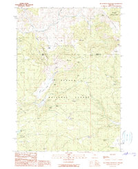
1990 · Big Mowich Mountain
USGS Topo · 1:24,000