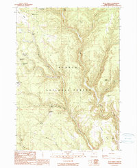
1990 Map of Buck Spring
USGS Topo · Published 1990About this map
Ochoco National Forest defines this high-elevation landscape in Harney County, characterized by a sophisticated system of water management and varied terrain. The northern boundary is marked by Corral Ridge, giving way to a network of drainages including Sawmill Creek, Silver Creek, and Delintment Creek. The map reveals the historical importance of water resources for the area's land use, featuring several named reservoirs such as Sawmill No 1 Reservoir, Sawmill No 2 Reservoir, and Twin Spring Reservoir.
Find a feature on this map
28 named features on this map. Tap any name to fly to it.
Don’t see what you’re looking for? This feature index may not catch every label — zoom into the map to look around manually.
Map Details
Editions of this 1990 Buck Spring Map
This is the sole edition of this map. No revisions or reprints were ever made.
Other maps of this area

1955 · Burns
USGS Topo · 1:250,000

1958 · Burns
USGS Topo · 1:250,000

1959 · Burns
USGS Topo · 1:250,000

1961 · Delintment Lake
USGS Topo · 1:62,500
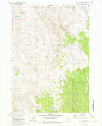
1981 · Mackey Butte
USGS Topo · 1:24,000
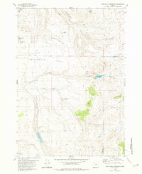
1981 · Twelvemile Reservoir
USGS Topo · 1:24,000
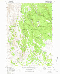
1981 · Bulger Ridge
USGS Topo · 1:24,000

1981 · Camp Currey Spring
USGS Topo · 1:24,000
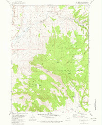
1982 · Dry Mountain
USGS Topo · 1:24,000
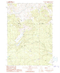
1990 · Big Mowich Mountain
USGS Topo · 1:24,000