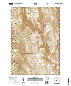
2020 Map of Buck Trough Spring
USGS Topo · Published 2020About this map
Malheur National Forest encompasses this high-desert drainage system, where the protected corridor of the North Fork Malheur Wild and Scenic River winds through deep canyons. The landscape is defined by a complex network of seasonal water management and natural springs, evidenced by features such as Skagway Reservoir, Dead Horse Reservoir, and the map's namesake Buck Trough Spring. The terrain transitions from the high elevations of Rattlesnake Ridge down into several prominent drainages, including Tin Wagon Canyon and Happy Canyon. Toward the southern boundary, the Little Malheur River marks a shift in the local watershed. This area remains largely defined by its natural topography and resource management, with few developed roads beyond Nat For Dev Rd 774, reflecting its primary role as protected forest and rangeland.
Find a feature on this map
39 named features on this map. Tap any name to fly to it.
Don’t see what you’re looking for? This feature index may not catch every label — zoom into the map to look around manually.
Map Details
Editions of this 2020 Buck Trough Spring Map
This is the sole edition of this map. No revisions or reprints were ever made.
Other maps of this area

1908 · Ironside Mountain
USGS Topo · 1:125,000

1955 · Burns
USGS Topo · 1:250,000

1955 · Canyon City
USGS Topo · 1:250,000

1958 · Burns
USGS Topo · 1:250,000

1959 · Burns
USGS Topo · 1:250,000

1959 · Canyon City
USGS Topo · 1:250,000

1966 · Beulah
USGS Topo · 1:62,500

1968 · Drewsey
USGS Topo · 1:62,500

1970 · Flag Prairie
USGS Topo · 1:62,500

1970 · Castle Rock
USGS Topo · 1:62,500