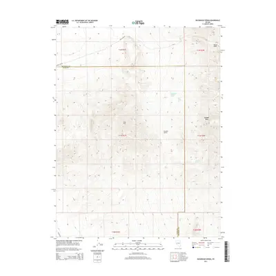
2014 Map of Buckbrush Spring
USGS Topo · Published 2014About this map
The Gray Hills and the western edge of the Wassuk Range dominate this high-desert landscape along the border of Lyon and Mineral counties. This 2014 survey documents a network of vital water sources in an arid environment, including Buckbrush Spring and the nearby Buck Brush Storage Tank. The topographic data reveals the complex drainage patterns of the region, specifically through the Pumpkin Hollow depression and the sharp descent of Copper Run.
Find a feature on this map
20 named features on this map. Tap any name to fly to it.
Don’t see what you’re looking for? This feature index may not catch every label — zoom into the map to look around manually.
Map Details
Editions of this 2014 Buckbrush Spring Map
This is the sole edition of this map. No revisions or reprints were ever made.
Other maps of this area
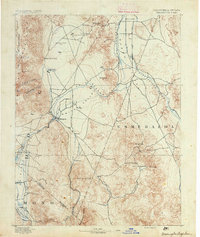
1891 · Wellington
USGS Topo · 1:125,000
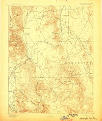
1893 · Wellington
USGS Topo · 1:125,000
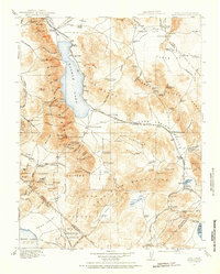
1909 · Hawthorne
USGS Topo · 1:250,000
1911 · Hawthorne
USGS Topo · 1:250,000
1915 · Hawthorne
USGS Topo · 1:250,000

1948 · Walker Lake
USGS Topo · 1:250,000
1956 · Mt. Grant
USGS Topo · 1:62,500
1957 · Walker Lake
USGS Topo · 1:250,000
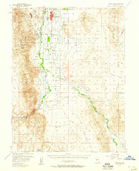
1957 · Yerington
USGS Topo · 1:62,500
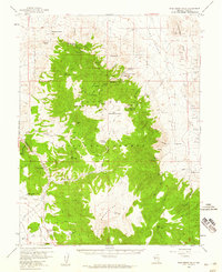
1958 · Pine Grove Hills
USGS Topo · 1:62,500