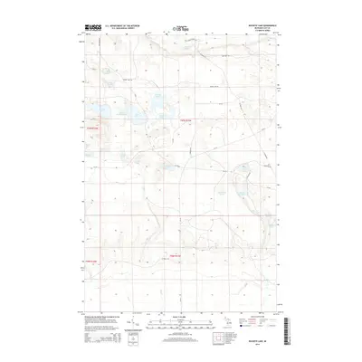
2014 Map of Buckeye Lake
USGS Topo · Published 2014About this map
Buckeye Lake and its smaller counterpart, Little Buckeye Lake, sit at the center of a dense glacial kettle landscape in Luce County. This 2014 survey reveals a transition from the concentrated water bodies of the north, including Whorl Pond and Wolf Lake, to the marshy drainage systems of the south defined by East Cr and Red Cr. The map preserves the traces of early twentieth-century logging through named paths like Camp One Trl and Barker Trl, which cut across the Public Land Survey System grids of Townships 46 and 47 North. Settlement is sparse, with the landscape dominated by isolated landmarks such as Deadmans Lake and Wolverine Lake. The network of county roads like CR-421 and Murray Lake Rd provides the primary framework for navigating this heavily wooded and water-saturated Michigan interior.
Find a feature on this map
40 named features on this map. Tap any name to fly to it.
Don’t see what you’re looking for? This feature index may not catch every label — zoom into the map to look around manually.
Map Details
Editions of this 2014 Buckeye Lake Map
This is the sole edition of this map. No revisions or reprints were ever made.
Other maps of this area
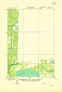
1931 · Seney SE
USGS Topo · 1:31,680
1954 · Sault Sainte Marie
USGS Topo · 1:250,000
1956 · Sault Sainte Marie
USGS Topo · 1:250,000
1957 · Sault Sainte Marie
USGS Topo · 1:250,000
1958 · Sault Sainte Marie
USGS Topo · 1:250,000
1962 · Auger Lake
USGS Topo · 1:24,000
1968 · Muskallonge Lake SW
USGS Topo · 1:24,000
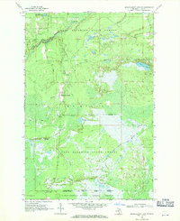
1968 · Muskallonge Lake SE
USGS Topo · 1:24,000
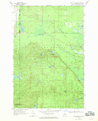
1968 · Grand Marais SE
USGS Topo · 1:24,000
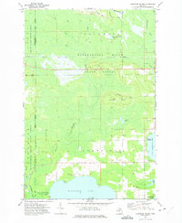
1972 · Hardwood Island
USGS Topo · 1:24,000