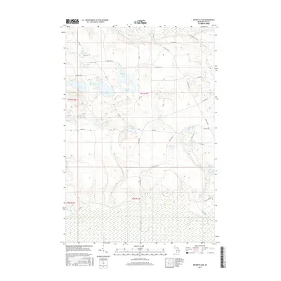
2017 Map of Buckeye Lake
USGS Topo · Published 2017About this map
Buckeye Lake and its smaller counterpart, Little Buckeye Lake, anchor a landscape dominated by glacial kettle lakes and wetland basins in Luce County. This 2017 survey shows an intricate network of forest roads and trails, such as Whorl Club Rd and Camp One Trl, which provide access to the dense woodland interior. The hydrography of the region is notably diverse, ranging from the named waters of Wolf Lake and Deadmans Lake to the meandering course of Syphon Cr and Camp One Cr.
Find a feature on this map
41 named features on this map. Tap any name to fly to it.
Don’t see what you’re looking for? This feature index may not catch every label — zoom into the map to look around manually.
Map Details
Editions of this 2017 Buckeye Lake Map
This is the sole edition of this map. No revisions or reprints were ever made.
Other maps of this area
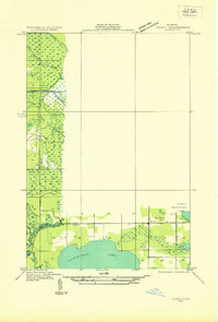
1931 · Seney SE
USGS Topo · 1:31,680
1954 · Sault Sainte Marie
USGS Topo · 1:250,000
1956 · Sault Sainte Marie
USGS Topo · 1:250,000
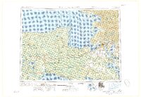
1957 · Sault Sainte Marie
USGS Topo · 1:250,000
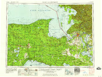
1958 · Sault Sainte Marie
USGS Topo · 1:250,000
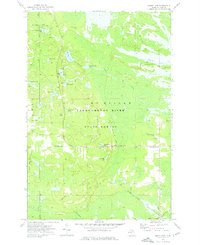
1962 · Auger Lake
USGS Topo · 1:24,000
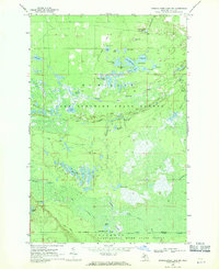
1968 · Muskallonge Lake SW
USGS Topo · 1:24,000
1968 · Muskallonge Lake SE
USGS Topo · 1:24,000
1968 · Grand Marais SE
USGS Topo · 1:24,000
1972 · Hardwood Island
USGS Topo · 1:24,000