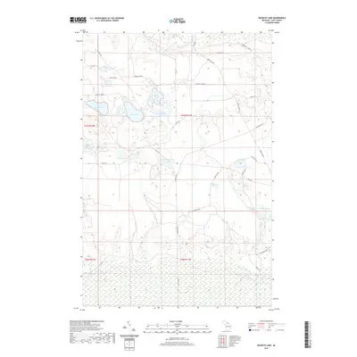
2019 Map of Buckeye Lake
USGS Topo · Published 2019About this map
Buckeye Lake and a dense network of kettle lakes characterize this portion of Columbus Township in the late 2010s. The landscape is defined by its complex hydrology, featuring numerous named water bodies such as Murray Lake, Wolf Lake, and the curiously named Deadmans Lake. This map captures a transition in the local timber and recreation economy, where historical camps and club roads like Whorl Club Rd and Chevrolet Camp Rd provide access to the interior. The drainage pattern is anchored by Silver Creek, which feeds into small catchments including Brockies Pond and Buckies Pond in the southeastern quadrant. A grid of local connectors, such as McMillan Ave and Ross Lake Rd, navigate the depressions and ridges of the Upper Peninsula terrain, illustrating the persistent reach of the county road system into these wetland-rich environments.
Find a feature on this map
44 named features on this map. Tap any name to fly to it.
Don’t see what you’re looking for? This feature index may not catch every label — zoom into the map to look around manually.
Map Details
Editions of this 2019 Buckeye Lake Map
This is the sole edition of this map. No revisions or reprints were ever made.
Other maps of this area
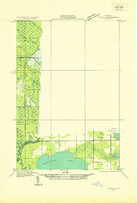
1931 · Seney SE
USGS Topo · 1:31,680
1954 · Sault Sainte Marie
USGS Topo · 1:250,000
1956 · Sault Sainte Marie
USGS Topo · 1:250,000
1957 · Sault Sainte Marie
USGS Topo · 1:250,000
1958 · Sault Sainte Marie
USGS Topo · 1:250,000
1962 · Auger Lake
USGS Topo · 1:24,000
1968 · Muskallonge Lake SW
USGS Topo · 1:24,000
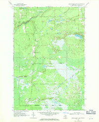
1968 · Muskallonge Lake SE
USGS Topo · 1:24,000
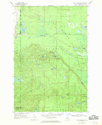
1968 · Grand Marais SE
USGS Topo · 1:24,000
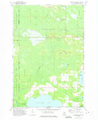
1972 · Hardwood Island
USGS Topo · 1:24,000