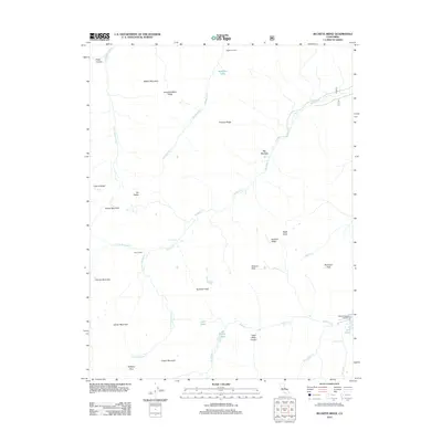
2012 Map of Buckeye Ridge
USGS Topo · Published 2012About this map
Buckeye Ridge and the high-altitude terrain of Tuolumne County are defined by a complex network of glacial valleys and seasonal drainages. The landscape is marked by remote structures like McMillan Cabin and Snow Cabin, indicating the area's history of high-country shelter and seasonal residence. In the southeastern corner, the transition toward recreational accessibility is visible near Mono Village Resort and the prominent Twin Lakes, where the terrain begins to flatten out.
Find a feature on this map
36 named features on this map. Tap any name to fly to it.
Don’t see what you’re looking for? This feature index may not catch every label — zoom into the map to look around manually.
Map Details
Editions of this 2012 Buckeye Ridge Map
This is the sole edition of this map. No revisions or reprints were ever made.
Other maps of this area
1896 · Dardanelles
USGS Topo · 1:125,000
1898 · Dardanelles
USGS Topo · 1:125,000
1909 · Bridgeport
USGS Topo · 1:125,000
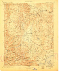
1911 · Bridgeport
USGS Topo · 1:125,000
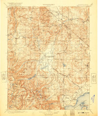
1920 · Bridgeport
USGS Topo · 1:125,000

1948 · Walker Lake
USGS Topo · 1:250,000
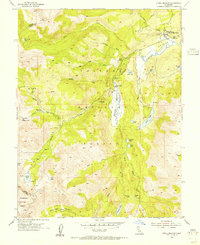
1954 · Pickel Meadow
USGS Topo · 1:24,000
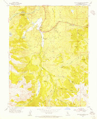
1954 · Fales Hot Springs
USGS Topo · 1:24,000
1956 · Sonora Pass
USGS Topo · 1:62,500
1956 · Fales Hot Springs
USGS Topo · 1:62,500