
1956 Map of Sonora Pass
USGS Topo · Published 1959About this map
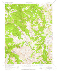
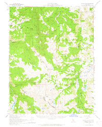
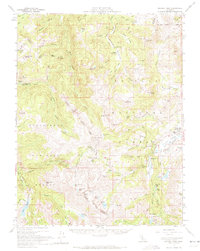
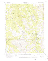
The High Sierra crossing at Sonora Pass serves as the focal point for this 1956 topographic study, marking the high-altitude boundary where Stanislaus National Forest meets the Toiyabe National Forest. The landscape is defined by its seasonal use and military footprint, notably featuring the Marine Corps Cold Weather Camp near the Pickel River and the Millie Lake Campground. Genealogists and local historians can locate the historic Leavitt Sta (Site) on the eastern slopes, a remnant of early travel through these mountains.
Find a feature on this map
99 named features on this map. Tap any name to fly to it.
Don’t see what you’re looking for? This feature index may not catch every label — zoom into the map to look around manually.
Map Details
Editions of this 1956 Sonora Pass Map
5 editions found
Other maps of this area

1889 · Markleeville
USGS Topo · 1:125,000

1891 · Markleeville
USGS Topo · 1:125,000

1891 · Wellington
USGS Topo · 1:125,000

1893 · Markleeville
USGS Topo · 1:125,000

1893 · Wellington
USGS Topo · 1:125,000

1896 · Dardanelles
USGS Topo · 1:125,000

1898 · Dardanelles
USGS Topo · 1:125,000

1909 · Bridgeport
USGS Topo · 1:125,000

1911 · Bridgeport
USGS Topo · 1:125,000

1920 · Bridgeport
USGS Topo · 1:125,000