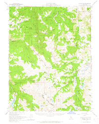
1956 Map of Sonora Pass
USGS Topo · Published 1965About this map
Sonora Peak and the high ridges of the Sierra Nevada define this mid-century landscape where the boundaries of Alpine, Mono, and Tuolumne counties converge. The mapping shows a wilderness managed through seasonal livestock and military presence, illustrated by the Marine Corps Cold Weather Camp near Pickel Meadow and the presence of Connels Cow Camp to the north. This era marks a period of high-altitude accessibility, with the Sonora Pass providing passage between the Toiyabe National Forest and Stanislaus National Forest.
Find a feature on this map
94 named features on this map. Tap any name to fly to it.
Don’t see what you’re looking for? This feature index may not catch every label — zoom into the map to look around manually.
Map Details
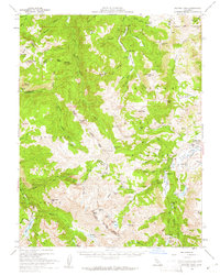
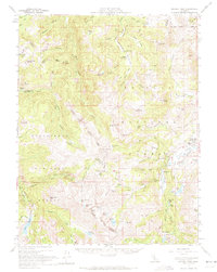
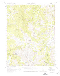
Editions of this 1956 Sonora Pass Map
5 editions found

Other maps of this area

1889 · Markleeville
USGS Topo · 1:125,000

1891 · Markleeville
USGS Topo · 1:125,000

1891 · Wellington
USGS Topo · 1:125,000

1893 · Markleeville
USGS Topo · 1:125,000

1893 · Wellington
USGS Topo · 1:125,000

1896 · Dardanelles
USGS Topo · 1:125,000

1898 · Dardanelles
USGS Topo · 1:125,000

1909 · Bridgeport
USGS Topo · 1:125,000

1911 · Bridgeport
USGS Topo · 1:125,000

1920 · Bridgeport
USGS Topo · 1:125,000