
1954 Map of Pickel Meadow
USGS Topo · Published 1955About this map
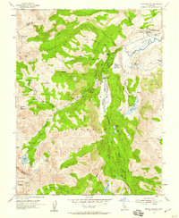
Pickel Meadow sits at the heart of this high-elevation terrain, where the West Fork Walker River and its numerous tributaries cut through the Toiyabe National Forest. The 1954 survey captures a distinct military presence at the Marine Corps Cold Weather Camp in the northeast, reflecting the era's focus on specialized training environments. The landscape is characterized by a series of alpine basins and meadows, including Leavitt Meadow and Sardine Meadow, connected by a network of seasonal streams like Wolf Creek and Sardine Creek.
Find a feature on this map
84 named features on this map. Tap any name to fly to it.
Don’t see what you’re looking for? This feature index may not catch every label — zoom into the map to look around manually.
Map Details
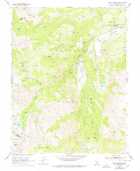
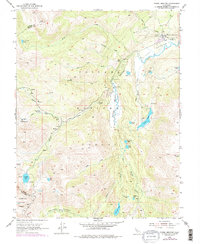
Editions of this 1954 Pickel Meadow Map
4 editions found
Other maps of this area

1896 · Dardanelles
USGS Topo · 1:125,000

1898 · Dardanelles
USGS Topo · 1:125,000

1909 · Bridgeport
USGS Topo · 1:125,000

1911 · Bridgeport
USGS Topo · 1:125,000

1920 · Bridgeport
USGS Topo · 1:125,000

1948 · Walker Lake
USGS Topo · 1:250,000

1954 · Chris Flat
USGS Topo · 1:24,000

1954 · Fales Hot Springs
USGS Topo · 1:24,000

1954 · Lost Cannon Peak
USGS Topo · 1:24,000

1956 · Sonora Pass
USGS Topo · 1:62,500