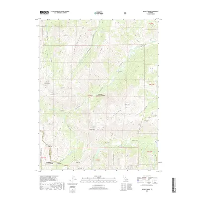
2018 Map of Buckeye Ridge
USGS Topo · Published 2018About this map
Toiyabe National Forest and Yosemite National Park meet along the high-elevation crests of this 2018 survey, centered on the prominent Buckeye Ridge. The landscape is defined by massive glacial features, including Little Slide Canyon and Buckeye Canyon, which channel snowmelt into the W Walker River and Robinson Creek. This quadrangle illustrates the intersection of Mono and Tuolumne counties through some of the most dramatic terrain in the Sierra Nevada.
Find a feature on this map
52 named features on this map. Tap any name to fly to it.
Don’t see what you’re looking for? This feature index may not catch every label — zoom into the map to look around manually.
Map Details
Editions of this 2018 Buckeye Ridge Map
This is the sole edition of this map. No revisions or reprints were ever made.
Other maps of this area
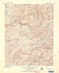
1896 · Dardanelles
USGS Topo · 1:125,000
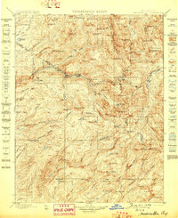
1898 · Dardanelles
USGS Topo · 1:125,000
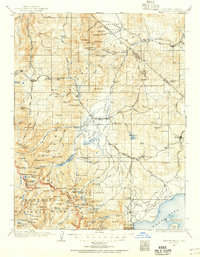
1909 · Bridgeport
USGS Topo · 1:125,000
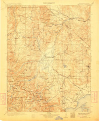
1911 · Bridgeport
USGS Topo · 1:125,000
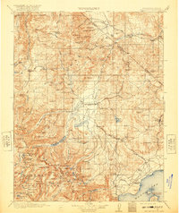
1920 · Bridgeport
USGS Topo · 1:125,000

1948 · Walker Lake
USGS Topo · 1:250,000
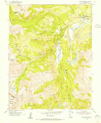
1954 · Pickel Meadow
USGS Topo · 1:24,000
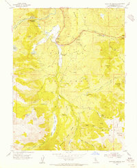
1954 · Fales Hot Springs
USGS Topo · 1:24,000
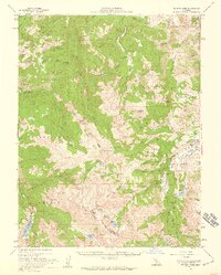
1956 · Sonora Pass
USGS Topo · 1:62,500
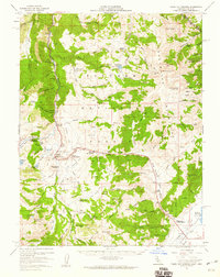
1956 · Fales Hot Springs
USGS Topo · 1:62,500