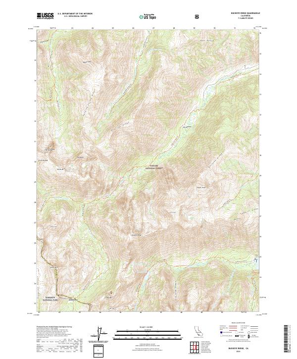
2021 Map of Buckeye Ridge
USGS Topo · Published 2021About this map
Toiyabe National Forest and Yosemite National Park meet along the boundary of Mono and Tuolumne counties, where high Sierra summits define the watershed. The terrain is characterized by massive crests like Hunewill Peak and Robinson Peak, separated by steep-walled canyons such as Little Slide Canyon. A network of historic paths, including the Buckeye Canyon Trail and Robinson Creek Trail, provides access to high-altitude water bodies like Barney Lake and McMillan Lake. These routes trace the drainage patterns of the Little Walker River and Buckeye Creek, illustrating the remote topography along Buckeye Ridge and Sawmill Ridge. The map documents the complex glacial geography of the region, from the prominence of Eagle Peak to the transition at Buckeye Pass.
Find a feature on this map
57 named features on this map. Tap any name to fly to it.
Don’t see what you’re looking for? This feature index may not catch every label — zoom into the map to look around manually.
Map Details
Editions of this 2021 Buckeye Ridge Map
This is the sole edition of this map. No revisions or reprints were ever made.
Other maps of this area

1896 · Dardanelles
USGS Topo · 1:125,000

1898 · Dardanelles
USGS Topo · 1:125,000

1909 · Bridgeport
USGS Topo · 1:125,000

1911 · Bridgeport
USGS Topo · 1:125,000

1920 · Bridgeport
USGS Topo · 1:125,000

1948 · Walker Lake
USGS Topo · 1:250,000

1954 · Pickel Meadow
USGS Topo · 1:24,000

1954 · Fales Hot Springs
USGS Topo · 1:24,000

1956 · Sonora Pass
USGS Topo · 1:62,500

1956 · Fales Hot Springs
USGS Topo · 1:62,500