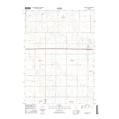
2015 Map of Buckeye West
USGS Topo · Published 2015About this map
The Buckeye and Wilke area of central Iowa is defined by its agricultural grid and the meandering path of the S Fork Iowa River. This 2015 survey illustrates the modern drainage infrastructure required for prairie farming, including the Big 4 Drainage Ditch and several named tributaries like Tipton Cr and New York Br. The settlement of Buckeye sits at the intersection of State Hwy 359 and 175th St, while the Buckeye Township Cem serves as a significant genealogical landmark just to the north. The map documents the boundary between Hamilton and Hardin Counties, showcasing a landscape dominated by township ranges such as t88n r22w and a dense network of county roads like Hwy D25 and Co Hwy S27.
Find a feature on this map
46 named features on this map. Tap any name to fly to it.
Don’t see what you’re looking for? This feature index may not catch every label — zoom into the map to look around manually.
Map Details
Editions of this 2015 Buckeye West Map
This is the sole edition of this map. No revisions or reprints were ever made.
Other maps of this area
1954 · Waterloo
USGS Topo · 1:250,000
1955 · Waterloo
USGS Topo · 1:250,000
1978 · Ellsworth
USGS Topo · 1:24,000
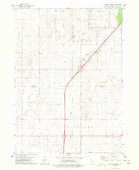
1978 · Sheldon Creek
USGS Topo · 1:24,000
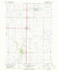
1978 · Williams
USGS Topo · 1:24,000
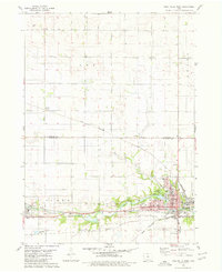
1979 · Iowa Falls West
USGS Topo · 1:24,000
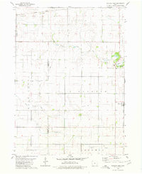
1979 · Buckeye West
USGS Topo · 1:24,000
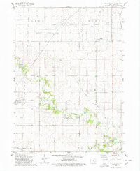
1979 · Buckeye East
USGS Topo · 1:24,000
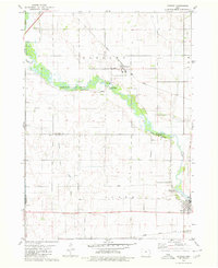
1979 · Popejoy
USGS Topo · 1:24,000
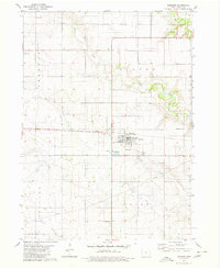
1979 · Hubbard
USGS Topo · 1:24,000