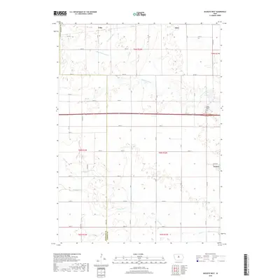
2018 Map of Buckeye West
USGS Topo · Published 2018About this map
S Fork Iowa River meanders across the northern reaches of this central Iowa landscape, defining the agricultural terrain near the Hardin County and Hamilton County border. The map documents a predominantly rural region anchored by the small communities of Wilke, Alden, and Buckeye. Evidence of early 20th-century water management is visible through the Big 4 Drainage Ditch and natural waterways like Tipton Creek and New York Branch. For those researching family history, the Buckeye Township Cemetery serves as a significant landmark in the eastern portion of the quadrangle. The grid-like road network, including Hwy D25 and Co Hwy S27, reflects the systematic sectioning of the Iowa prairie into productive farmsteads.
Find a feature on this map
38 named features on this map. Tap any name to fly to it.
Don’t see what you’re looking for? This feature index may not catch every label — zoom into the map to look around manually.
Map Details
Editions of this 2018 Buckeye West Map
This is the sole edition of this map. No revisions or reprints were ever made.
Other maps of this area

1954 · Waterloo
USGS Topo · 1:250,000

1955 · Waterloo
USGS Topo · 1:250,000

1978 · Ellsworth
USGS Topo · 1:24,000

1978 · Sheldon Creek
USGS Topo · 1:24,000

1978 · Williams
USGS Topo · 1:24,000

1979 · Iowa Falls West
USGS Topo · 1:24,000

1979 · Buckeye West
USGS Topo · 1:24,000

1979 · Buckeye East
USGS Topo · 1:24,000

1979 · Popejoy
USGS Topo · 1:24,000

1979 · Hubbard
USGS Topo · 1:24,000