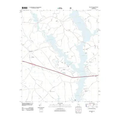
2011 Map of Buckhead
USGS Topo · Published 2011About this map
Lake Oconee dominates the central and eastern portions of this Georgia landscape, its irregular shoreline following the flooded valley of the Oconee River. The town of Buckhead sits to the west, while smaller settlements like Swords and Carey are positioned along the primary transit corridors. The area is marked by numerous family and community burial grounds, including the Fork Chapel Cemetery, Taylor Cemetery, and Jim Carey Cemetery, which provide significant anchor points for local genealogical research.
Find a feature on this map
68 named features on this map. Tap any name to fly to it.
Don’t see what you’re looking for? This feature index may not catch every label — zoom into the map to look around manually.
Map Details
Editions of this 2011 Buckhead Map
This is the sole edition of this map. No revisions or reprints were ever made.
Other maps of this area

1953 · Athens
USGS Topo · 1:250,000

1958 · Athens
USGS Topo · 1:250,000

1959 · Athens
USGS Topo · 1:250,000

1963 · Athens
USGS Topo · 1:250,000

1972 · Penfield
USGS Topo · 1:24,000

1972 · Liberty
USGS Topo · 1:24,000

1972 · Buckhead
USGS Topo · 1:24,000

1972 · Apalachee
USGS Topo · 1:24,000

1972 · Harmony
USGS Topo · 1:24,000

1972 · Rock Eagle Lake
USGS Topo · 1:24,000