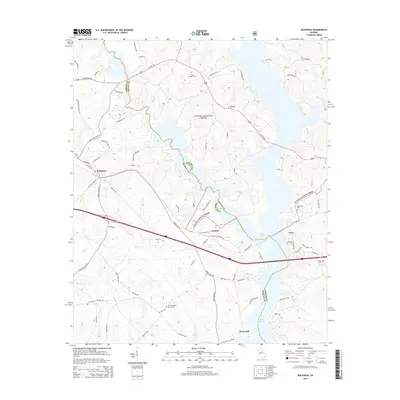
2014 Map of Buckhead
USGS Topo · Published 2014About this map
The Apalachee River flows through the center of this Georgia landscape, defining the jagged boundary between Morgan and Greene counties. At this point in the twenty-first century, the river's path is marked by the expansive waters of Lake Oconee, which dominate the eastern and southern portions of the sheet. The small settlement of Buckhead sits in the west, while the community of Swords is situated near the center, just north of Bird Lake.
Find a feature on this map
72 named features on this map. Tap any name to fly to it.
Don’t see what you’re looking for? This feature index may not catch every label — zoom into the map to look around manually.
Map Details
Editions of this 2014 Buckhead Map
This is the sole edition of this map. No revisions or reprints were ever made.
Other maps of this area
1953 · Athens
USGS Topo · 1:250,000
1958 · Athens
USGS Topo · 1:250,000
1959 · Athens
USGS Topo · 1:250,000
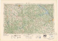
1963 · Athens
USGS Topo · 1:250,000
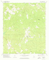
1972 · Penfield
USGS Topo · 1:24,000
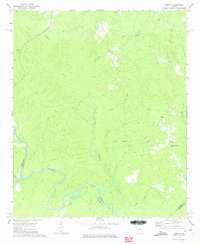
1972 · Liberty
USGS Topo · 1:24,000
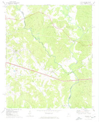
1972 · Buckhead
USGS Topo · 1:24,000
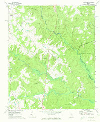
1972 · Apalachee
USGS Topo · 1:24,000
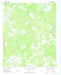
1972 · Harmony
USGS Topo · 1:24,000
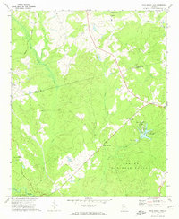
1972 · Rock Eagle Lake
USGS Topo · 1:24,000