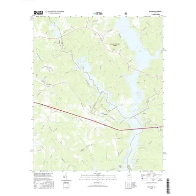
2017 Map of Buckhead
USGS Topo · Published 2017About this map
Buckhead and its surrounding rural corridors in Morgan County are defined by a complex network of creeks and timberlands. The landscape transitions from the residential and agricultural layout of the town to the protected acreage of the Oconee National Forest in the northeast. This 2017 survey details the geography along the western shores of Lake Oconee, where small settlements like Swords and Carey sit near the water's edge.
Find a feature on this map
82 named features on this map. Tap any name to fly to it.
Don’t see what you’re looking for? This feature index may not catch every label — zoom into the map to look around manually.
Map Details
Editions of this 2017 Buckhead Map
This is the sole edition of this map. No revisions or reprints were ever made.
Other maps of this area
1953 · Athens
USGS Topo · 1:250,000
1958 · Athens
USGS Topo · 1:250,000
1959 · Athens
USGS Topo · 1:250,000
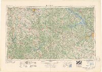
1963 · Athens
USGS Topo · 1:250,000
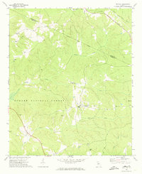
1972 · Penfield
USGS Topo · 1:24,000
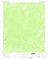
1972 · Liberty
USGS Topo · 1:24,000
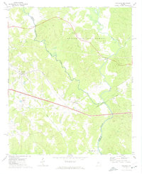
1972 · Buckhead
USGS Topo · 1:24,000
1972 · Apalachee
USGS Topo · 1:24,000
1972 · Harmony
USGS Topo · 1:24,000
1972 · Rock Eagle Lake
USGS Topo · 1:24,000