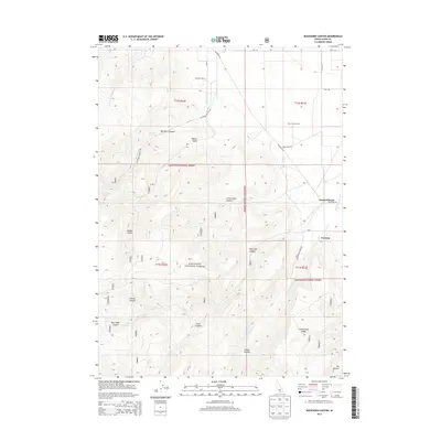
2013 Map of Buckhorn Canyon
USGS Topo · Published 2013About this map
Sawtooth National Forest land dominates the lower half of this Idaho high-country survey, where steep drainages and isolated springs define the landscape of Cassia County. In the northern reaches, ranching operations such as Buckhorn Ranch and Warm Creek Ranch sit near the mouth of Buckhorn Canyon, where Buckhorn Creek emerges from the mountain front. The map documents a sparse but deliberate network of forest service routes and ranch roads, including Mountain Rd and Buckhorn Canyon Rd, connecting remote outposts like Iversons and Garrard Ranch.
Find a feature on this map
47 named features on this map. Tap any name to fly to it.
Don’t see what you’re looking for? This feature index may not catch every label — zoom into the map to look around manually.
Map Details
Editions of this 2013 Buckhorn Canyon Map
This is the sole edition of this map. No revisions or reprints were ever made.
Other maps of this area

1954 · Pocatello
USGS Topo · 1:250,000

1955 · Twin Falls
USGS Topo · 1:250,000

1958 · Twin Falls
USGS Topo · 1:250,000

1958 · Pocatello
USGS Topo · 1:250,000
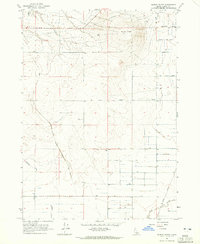
1964 · Burley Butte
USGS Topo · 1:24,000
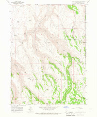
1965 · Rams Horn Ridge
USGS Topo · 1:24,000
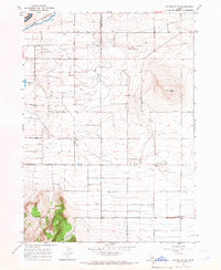
1965 · Milner Butte
USGS Topo · 1:24,000
1965 · Murtaugh
USGS Topo · 1:24,000
1965 · Buckhorn Canyon
USGS Topo · 1:24,000
1968 · Oakley
USGS Topo · 1:24,000