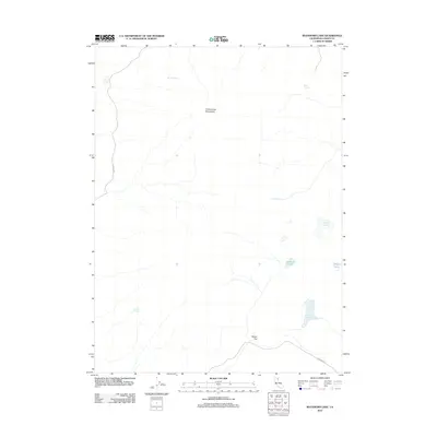
2012 Map of Buckhorn Lake
USGS Topo · Published 2012About this map
Cottonwood Mountains rise across this high-desert portion of Lassen County, where a network of springs and catchments supports life in a semi-arid landscape. Water sources are critical identifiers here, ranging from Gerlach Spring and Brine Spring in the north to Gallion Spring further south. The drainage patterns and seasonal water bodies such as Buckhorn Lake and Willow Lake illustrate the hydrology of the Great Basin edge. Sparse human infrastructure is limited to primitive routes like Tuelidad Rd and Buckhorn Rd, which converge near Rodeo Flat. This settlement area and the surrounding impoundments, including Powell Reservoir and Round Corral Reservoir, suggest a landscape historically tied to livestock and rangeland management during the early 21st century.
Find a feature on this map
12 named features on this map. Tap any name to fly to it.
Don’t see what you’re looking for? This feature index may not catch every label — zoom into the map to look around manually.
Map Details
Editions of this 2012 Buckhorn Lake Map
This is the sole edition of this map. No revisions or reprints were ever made.
Other maps of this area

1886 · Alturas
USGS Topo · 1:250,000

1886 · Honey Lake
USGS Topo · 1:250,000

1886 · Granite Range
USGS Topo · 1:250,000

1889 · Long Valley
USGS Topo · 1:250,000

1891 · Honey Lake
USGS Topo · 1:250,000

1892 · Alturas
USGS Topo · 1:250,000

1893 · Honey Lake
USGS Topo · 1:250,000

1894 · Granite Range
USGS Topo · 1:250,000

1954 · Observation Peak
USGS Topo · 1:62,500

1954 · Vya
USGS Topo · 1:250,000