
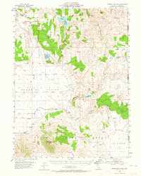
1954 Map of Observation Peak
USGS Topo · Published 1955About this map
Madeline Plains anchor the western reaches of this high-desert landscape, where ranching and water management define the settlement patterns of the mid-1950s. Named outposts like Horne Ranch, Madeline Ranch, and Cold Spring Ranch are scattered across the terrain, connected by primitive routes and a network of reservoirs including Dodge Reservoir and Dunn Reservoir. To the south, the topography rises sharply toward Observation Peak, which overlooks a dedicated State Game Refuge. This survey captures a moment when the livestock industry relied on isolated improvements such as Shearing Corrals and remote watering points like Harrison Spring and Hog Spring. The map documents the stark border between Lassen County, California, and Washoe County, Nevada, where the high-altitude Cottonwood Mountains meet the vast flats of Painters Flat.
Find a feature on this map
43 named features on this map. Tap any name to fly to it.
Don’t see what you’re looking for? This feature index may not catch every label — zoom into the map to look around manually.
Map Details
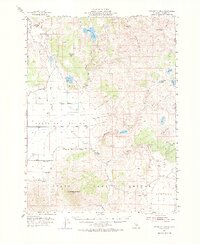
Editions of this 1954 Observation Peak Map
3 editions found
Other maps of this area

1886 · Alturas
USGS Topo · 1:250,000

1886 · Honey Lake
USGS Topo · 1:250,000

1886 · Granite Range
USGS Topo · 1:250,000

1889 · Long Valley
USGS Topo · 1:250,000

1891 · Honey Lake
USGS Topo · 1:250,000

1892 · Alturas
USGS Topo · 1:250,000

1893 · Honey Lake
USGS Topo · 1:250,000

1894 · Granite Range
USGS Topo · 1:250,000

1954 · Karlo
USGS Topo · 1:62,500

1954 · Ravendale
USGS Topo · 1:62,500