
1954 Map of Ravendale
USGS Topo · Published 1956About this map
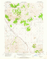
Ravendale and Termo serve as the primary hubs on the high desert of Lassen County, where the Southern Pacific railroad cuts a diagonal line across the landscape. The mid-century map reveals a series of isolated family operations like the Harry Marr Ranch and Mendiboure Ranch, alongside civic infrastructure such as the Butte Sch and a local Cem. The cattle and sheep economy is reflected in the numerous water sources, including Big Springs and Deer Spr, which were essential for sustaining life on the expansive Made Line Plains.
Find a feature on this map
70 named features on this map. Tap any name to fly to it.
Don’t see what you’re looking for? This feature index may not catch every label — zoom into the map to look around manually.
Map Details
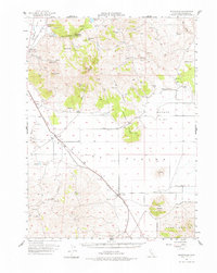
Editions of this 1954 Ravendale Map
3 editions found
Other maps of this area

1886 · Alturas
USGS Topo · 1:250,000

1886 · Honey Lake
USGS Topo · 1:250,000

1891 · Honey Lake
USGS Topo · 1:250,000

1892 · Alturas
USGS Topo · 1:250,000

1893 · Honey Lake
USGS Topo · 1:250,000

1954 · Observation Peak
USGS Topo · 1:62,500

1954 · Karlo
USGS Topo · 1:62,500

1954 · Grasshopper Valley
USGS Topo · 1:62,500

1954 · Fredonyer Peak
USGS Topo · 1:62,500

1954 · Shinn Mountain
USGS Topo · 1:62,500