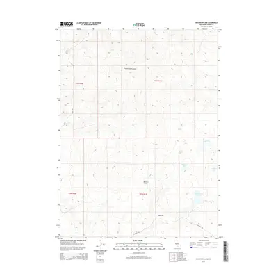
2015 Map of Buckhorn Lake
USGS Topo · Published 2015About this map
The Cottonwood Mountains dominate the northern landscape of this Lassen County region, where high-elevation topography gives way to a network of essential water sources. Strategically located springs such as Gerlach Spring, Brine Spring, and Bryant Spring highlight the historical importance of water management in this arid environment. To the south, the terrain descends into Buckhorn Canyon and the level expanse of Rodeo Flat, reflecting a landscape shaped by both natural drainage and human efforts to capture seasonal runoff. Small, named bodies of water like Buckhorn Lake and Willow Lake are clustered near the eastern boundary, while infrastructure such as Powell Reservoir and Round Corral Reservoir points to the area's ongoing ranching or resource management requirements. These features, connected by routes like Buckhorn Rd, illustrate the long-standing land use patterns of northeastern California.
Find a feature on this map
17 named features on this map. Tap any name to fly to it.
Don’t see what you’re looking for? This feature index may not catch every label — zoom into the map to look around manually.
Map Details
Editions of this 2015 Buckhorn Lake Map
This is the sole edition of this map. No revisions or reprints were ever made.
Other maps of this area

1886 · Alturas
USGS Topo · 1:250,000

1886 · Honey Lake
USGS Topo · 1:250,000

1886 · Granite Range
USGS Topo · 1:250,000

1889 · Long Valley
USGS Topo · 1:250,000

1891 · Honey Lake
USGS Topo · 1:250,000

1892 · Alturas
USGS Topo · 1:250,000

1893 · Honey Lake
USGS Topo · 1:250,000

1894 · Granite Range
USGS Topo · 1:250,000

1954 · Observation Peak
USGS Topo · 1:62,500

1954 · Vya
USGS Topo · 1:250,000