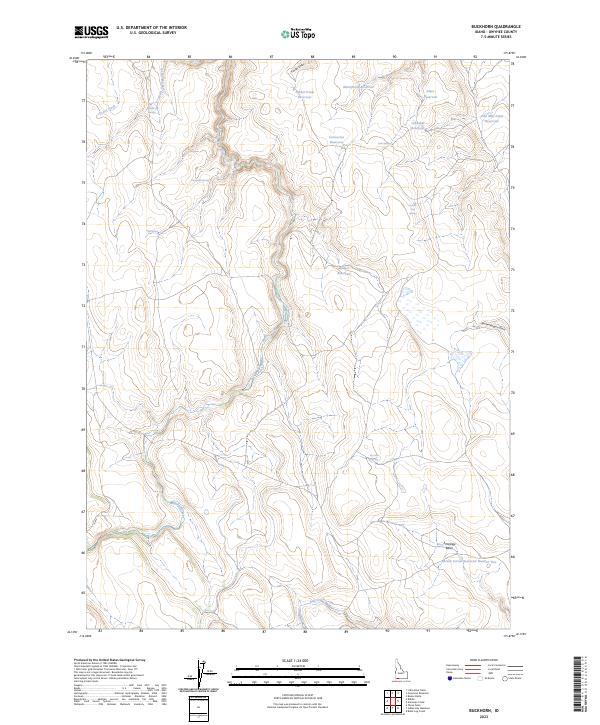
2023 Map of Buckhorn
USGS Topo · Published 2023About this map
High-desert water management defines this portion of Owyhee County, where a network of catchments and natural springs supports the livestock and wildlife of the remote plateau. The landscape is characterized by its reliance on reservoirs like Timber Draw Reservoir and Correction Reservoir, reflecting the historical and ongoing importance of water rights in Idaho’s arid interior. These man-made features are often situated at the mouth of drainages such as Timber Draw and Broken Wagon Draw, capturing seasonal runoff to sustain the region.
Find a feature on this map
28 named features on this map. Tap any name to fly to it.
Don’t see what you’re looking for? This feature index may not catch every label — zoom into the map to look around manually.
Map Details
Editions of this 2023 Buckhorn Map
This is the sole edition of this map. No revisions or reprints were ever made.
Other maps of this area

1955 · Jordan Valley
USGS Topo · 1:250,000

1955 · Twin Falls
USGS Topo · 1:250,000

1957 · Jordan Valley
USGS Topo · 1:250,000

1958 · Twin Falls
USGS Topo · 1:250,000

1958 · Jordan Valley
USGS Topo · 1:250,000
1971 · Three Forks
USGS Topo · 1:24,000
1971 · Riddle
USGS Topo · 1:24,000

1972 · Little Blue Table
USGS Topo · 1:24,000
1979 · Antelope Creek
USGS Topo · 1:24,000
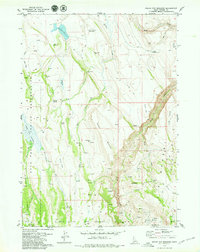
1979 · Indian Hay Meadows
USGS Topo · 1:24,000