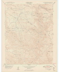
1949 Map of Buckhorn Peak
USGS Topo · Published 1949About this map
Gold-bearing ridges and deep canyon drainages define this 1940s landscape within the Stanislaus National Forest along the border of Mariposa and Tuolumne counties. The area is heavily marked by its mining history, with numerous operations including the Bondurant Mine, Marble Spring Mine, and the Texas Hill Mines scattered across the difficult terrain. These sites, along with smaller operations like the Red Cloud Mine, suggest a period of intensive subterranean exploration and resource extraction in the foothills of the Sierra Nevada.
Find a feature on this map
42 named features on this map. Tap any name to fly to it.
Don’t see what you’re looking for? This feature index may not catch every label — zoom into the map to look around manually.
Map Details
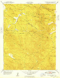
Editions of this 1949 Buckhorn Peak Map
2 editions found
Other maps of this area

1893 · Sonora
USGS Topo · 1:125,000

1896 · Sonora
USGS Topo · 1:125,000

1897 · Sonora
USGS Topo · 1:125,000

1897 · Yosemite
USGS Topo · 1:125,000

1898 · Sonora
USGS Topo · 1:125,000

1900 · Yosemite
USGS Topo · 1:125,000

1903 · Yosemite
USGS Topo · 1:125,000

1909 · Yosemite
USGS Topo · 1:125,000

1947 · San Jose
USGS Topo · 1:250,000

1947 · Mariposa
USGS Topo · 1:250,000