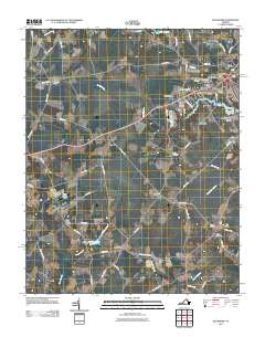
2011 Map of Buckhorn
USGS Topo · Published 2011About this map
Speights Run and the winding reaches of Jones Swamp define the hydrology of this Coastal Plain landscape in Suffolk, Virginia. Small rural communities and residential developments are scattered throughout the region, including Lutersville, Lummis, and the clustered neighborhoods of Oak Ridge Estates and Bethlehem Terrace. The map details the transition from agricultural fields to more densely settled areas, with numerous small water bodies like Norfleet Pond and Lake Cahoon providing essential drainage and water management.
Find a feature on this map
72 named features on this map. Tap any name to fly to it.
Don’t see what you’re looking for? This feature index may not catch every label — zoom into the map to look around manually.
Map Details
Editions of this 2011 Buckhorn Map
This is the sole edition of this map. No revisions or reprints were ever made.
Other maps of this area

1919 · Smithfield
USGS Topo · 1:62,500

1919 · Suffolk
USGS Topo · 1:62,500

1920 · Holland
USGS Topo · 1:62,500

1920 · Ivor
USGS Topo · 1:62,500

1943 · Holland
USGS Topo · 1:62,500

1944 · Windsor
USGS Topo · 1:31,680

1944 · Zuni
USGS Topo · 1:24,000

1945 · Zuni
USGS Topo · 1:31,680

1949 · Chuckatuck
USGS Topo · 1:24,000

1953 · Norfolk
USGS Topo · 1:250,000