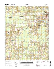
2016 Map of Buckhorn
USGS Topo · Published 2016About this map
The low-lying wetlands of Tidewater Virginia define this landscape, where Jones Swamp, Quaker Swamp, and Council Swamp interlace with the headwaters of Cohoon Creek. Settlement patterns follow the higher ground along the Holland Rd corridor, connecting the small community of Lummis to the western edge of Suffolk. The map documents a blend of rural heritage and modern institutional growth, featuring established family-named landmarks like Rawles Cem alongside the Paul D Camp Community College Hobbs Suffolk Campus. This area serves as a critical hydrologic zone for the region, managed through the Speights Run Reservoir and Norfleet Pond. The presence of the Grasso Salvage Airport and a network of named trails like Indian Trl reflect a transition between traditional agricultural land use and more specialized local infrastructure near the Kenyon area.
Find a feature on this map
74 named features on this map. Tap any name to fly to it.
Don’t see what you’re looking for? This feature index may not catch every label — zoom into the map to look around manually.
Map Details
Editions of this 2016 Buckhorn Map
This is the sole edition of this map. No revisions or reprints were ever made.
Other maps of this area

1919 · Smithfield
USGS Topo · 1:62,500

1919 · Suffolk
USGS Topo · 1:62,500

1920 · Holland
USGS Topo · 1:62,500

1920 · Ivor
USGS Topo · 1:62,500

1943 · Holland
USGS Topo · 1:62,500

1944 · Windsor
USGS Topo · 1:31,680

1944 · Zuni
USGS Topo · 1:24,000

1945 · Zuni
USGS Topo · 1:31,680

1949 · Chuckatuck
USGS Topo · 1:24,000

1953 · Norfolk
USGS Topo · 1:250,000