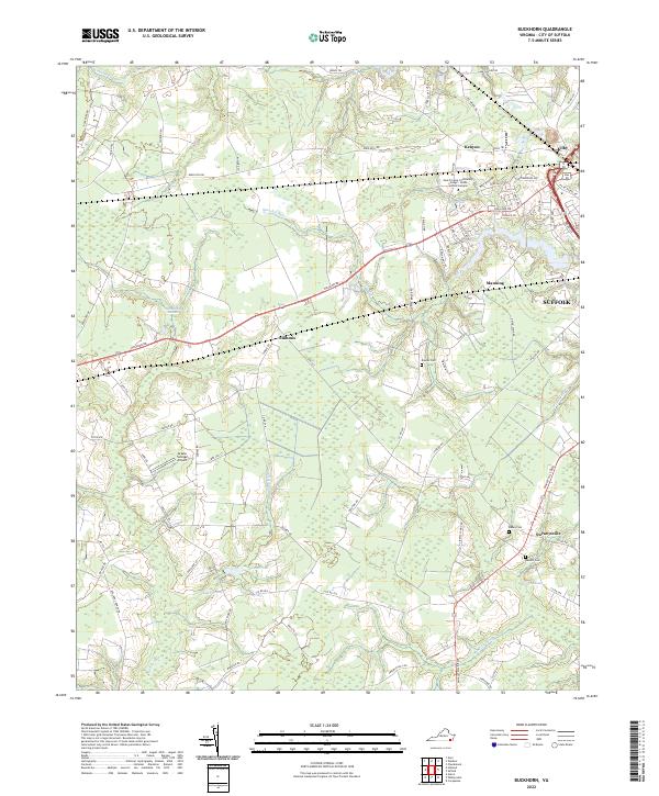
2022 Map of Buckhorn
USGS Topo · Published 2022About this map
The coastal plain of Virginia, just west of the Suffolk city center, is defined by a dense network of blackwater creeks and wooded wetlands. This 2022 survey captures the transitional landscape where suburban residential developments like Kenyon and Manning meet the sprawling tracts of Quaker Swamp and Cypress Swamp. The map highlights the localized settlement patterns of the Tidewater region, with small communities such as Lummis and Nurneysville situated along key transit corridors like Holland Rd and Whaleyville Blvd. Institutional and infrastructure landmarks are prominent, including the Paul D Camp Community College - Hobbs Suffolk Campus and the uniquely named Grasso Salvage Airport. This modern record is particularly valuable for genealogists, as it documents numerous family-named burial grounds like Rawles Cem, Rabey Cem, and Barrett Cem within their geographic context.
Find a feature on this map
73 named features on this map. Tap any name to fly to it.
Don’t see what you’re looking for? This feature index may not catch every label — zoom into the map to look around manually.
Map Details
Editions of this 2022 Buckhorn Map
This is the sole edition of this map. No revisions or reprints were ever made.
Other maps of this area

1919 · Smithfield
USGS Topo · 1:62,500

1919 · Suffolk
USGS Topo · 1:62,500

1920 · Holland
USGS Topo · 1:62,500

1920 · Ivor
USGS Topo · 1:62,500

1943 · Holland
USGS Topo · 1:62,500

1944 · Windsor
USGS Topo · 1:31,680

1944 · Zuni
USGS Topo · 1:24,000

1945 · Zuni
USGS Topo · 1:31,680

1949 · Chuckatuck
USGS Topo · 1:24,000

1953 · Norfolk
USGS Topo · 1:250,000