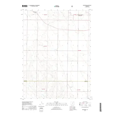
2019 Map of Buckingham
USGS Topo · Published 2019About this map
Buckingham is situated in the high plains of northern Colorado, anchored by a vast expanse of the Pawnee National Grassland. The landscape is defined by the ephemeral drainages of S Pawnee Cr and Wildcat Cr, which cut through a predominantly rural and agricultural grid. This 2019 survey captures a transition point at the border between Weld and Morgan counties, where the township lines of T7N and T8N R59W meet. A small landing strip, Wirth Field, sits in the southern portion of the map, illustrating the continued reliance on private aviation in these expansive grasslands. The map's dense network of county roads, such as Co RD 86 and Co RD 74, highlights the systematic sectioning of the territory for ranching and resource management.
Find a feature on this map
30 named features on this map. Tap any name to fly to it.
Don’t see what you’re looking for? This feature index may not catch every label — zoom into the map to look around manually.
Map Details
Editions of this 2019 Buckingham Map
This is the sole edition of this map. No revisions or reprints were ever made.
Other maps of this area

1951 · Sunken Lake
USGS Topo · 1:24,000

1951 · Peace Valley School
USGS Topo · 1:24,000

1951 · Judson Hills
USGS Topo · 1:24,000

1954 · Sterling
USGS Topo · 1:250,000

1954 · Greeley
USGS Topo · 1:250,000

1957 · Greeley
USGS Topo · 1:250,000

1958 · Greeley
USGS Topo · 1:250,000

1958 · Sterling
USGS Topo · 1:250,000

1961 · Greeley
USGS Topo · 1:250,000

1964 · Greeley
USGS Topo · 1:250,000