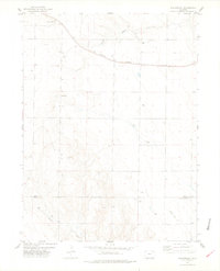
1978 Map of Buckingham
USGS Topo · Published 1978About this map
Buckingham sits in the high plains of northern Colorado, serving as a focal point for the ranching and energy landscape of the late 1970s. The Burlington Northern railroad cuts a straight line through the northern part of the quadrangle, paralleling the course of South Pawnee Creek and Pawnee Creek. This area of the state is defined by its wide drainage basins, including Wildcat Creek to the south, and a scattered network of petroleum extraction sites. Numerous oil and gas wells dot the terrain, signaling the industrial importance of the region at this time. Evidence of rural infrastructure is visible in the presence of a Landing Strip and a Radio Tower, while the southern boundary marks the transition across the Weld Co Morgan Co line.
Find a feature on this map
12 named features on this map. Tap any name to fly to it.
Don’t see what you’re looking for? This feature index may not catch every label — zoom into the map to look around manually.
Map Details
Editions of this 1978 Buckingham Map
This is the sole edition of this map. No revisions or reprints were ever made.
Other maps of this area

1951 · Sunken Lake
USGS Topo · 1:24,000

1951 · Peace Valley School
USGS Topo · 1:24,000

1951 · Judson Hills
USGS Topo · 1:24,000

1954 · Sterling
USGS Topo · 1:250,000

1954 · Greeley
USGS Topo · 1:250,000

1957 · Greeley
USGS Topo · 1:250,000

1958 · Greeley
USGS Topo · 1:250,000

1958 · Sterling
USGS Topo · 1:250,000

1961 · Greeley
USGS Topo · 1:250,000

1964 · Greeley
USGS Topo · 1:250,000